
Blog
Our latest walk took us to the Ridgeway starting from the car park at Bury Down just off the A34, to the north of West Ilsley. We would be taking a circular route today in a northerly direction to the village of East Hendred and returning via Chilton. We had a relatively low turn out of nine which was less than I had perhaps expected but we could possibly attribute to the slightly longer mileage, advertised as 11 miles and perhaps location was further away for many of our members.
We gathered today wrapped up in layers, hats and the odd hat. Temperatures had dropped to near freezing earlier; we set off amidst much murk and mist. Sadly, the often lovely views of West Berkshire to our right and South Oxfordshire to our left were somewhat disappointing in the beginning.
Within a mile or two we reached our first feature of interest, Scuthamer Knob at Cuckhamsley Hill, formally in Berkshire but now just over the border in Oxfordshire. This is believed to be an early Iron Age round barrow but today it is more a circular bank with a round front which may be a result of historic vandalism. Although we didn’t stop here we had a quick walk over the barrow, admiring the “views” or lack of due to the fog and after twenty seconds or so we walked on.
Our route took us off the Ridgeway and descended past East Ginge Down and Knob Down where one person observed what they thought may have been an owl in the woods. On closer inspection it appeared to be more like a red kite. We would not to have known then but the mention of an owl would soon to become slightly ironic today
The footpath took us out to East Ginge – I’m really not to sure about some of the names around these parts! – And we then picked up the right of way at West Ginge. The mist was now starting to lift and following a short stop where a few of us took a layer off the sun could be seen trying to peak through.
We soon arrived on the edges of the village of West Hendred with the group observing a property next to us havingonly fairly recently been gutted by fire with a chimney ironically one of the few features to remain standing. At this point I decided to change the route slightly and ensured we kept to more soft terrain. A good choice I thought and it gave us an opportunity to take in a view of East Hendred in the distance. The sun was now beginning to break through and the mist and lifted completely.
We arrived in East Hendred, a lovely village that used to be in Berkshire before the boundary changes of 1974. We arrived via the Primary School whose emblem on the sign was an Owl; hence my mention of aforementioned bird earlier. Within the school grounds there was also a magnificently carved owl from a tree.
When I submitted the walk I decided to do things slightly different on this hike and planned to have not one but two pub stops as well as two slightly shorter lunch stops. My thinking was that it is always good to mix things up from time to time and with us being a relatively small group, meaning few queues at the bar and the weather being so fine there were no complaints. Well, at least none in earshot of me! So at 12.15pm we found a quite spot in the village and settled down for a bite to eat and then wondered into the pub where I ordered a quick half. We sat on the park benches enjoy the warmth of the sun on our faces for the first time in 2016 perhaps.
One point to note that not only did we spot another wood carved owl in a villager’s garden but we saw that a resident’s car’s registration plate had some of its characters made out to look like Owl. Sadly, I have not been able to find out the owl significance to East Hendred.
Drinks done we continue in a southerly direction, slowly but surely making our return journey. The footpaths were fairly easy to navigate with no obstacles to contend with other than the odd spot of mud. Therefore progress was at a good pace.
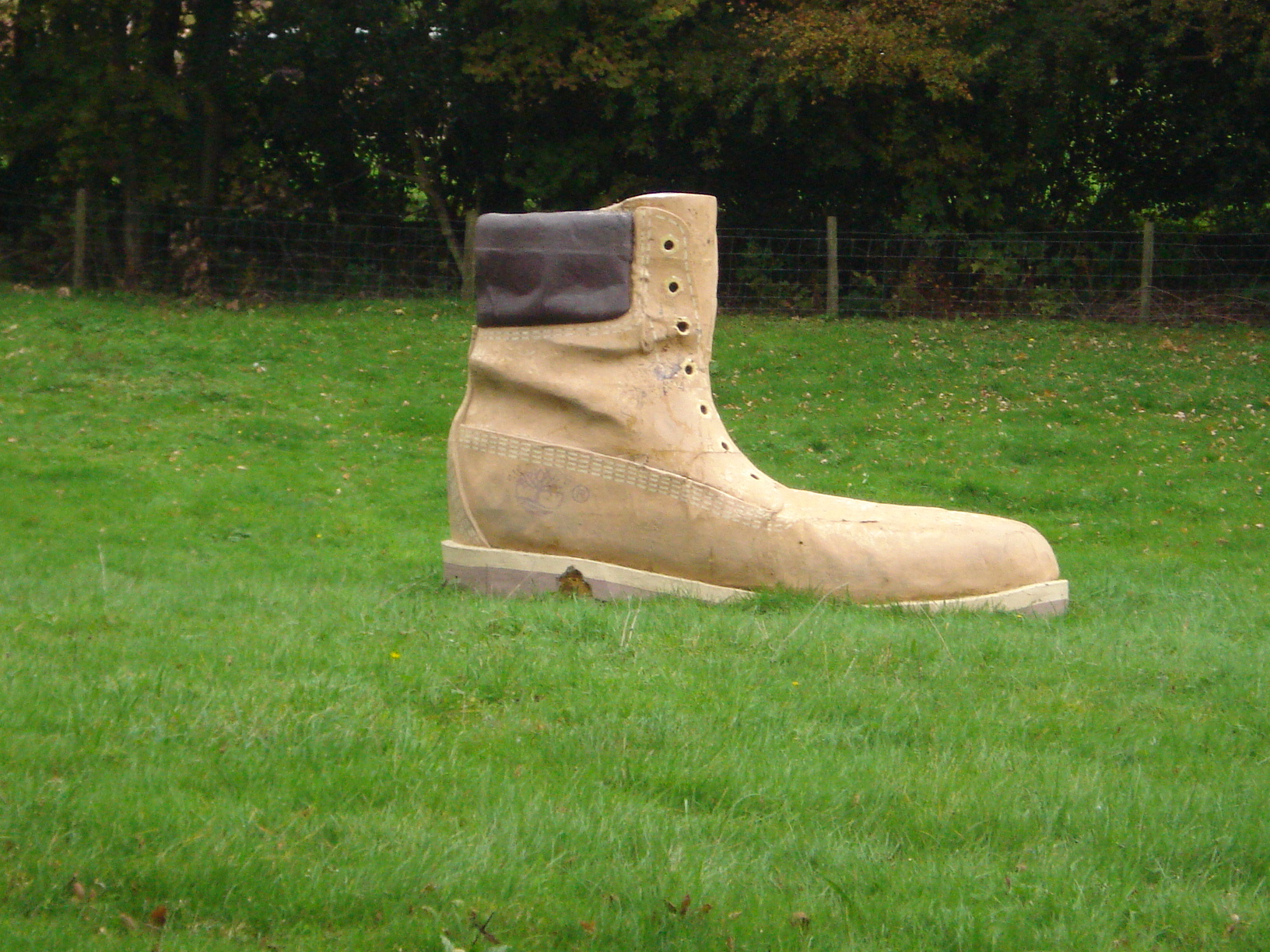
We eventually arrived at the edge of Harwell International Business Centre, a home for science and technology research. A part of the site was formally resident to a research establishment for Atomic Energy Authority. Rather oddly we did spot a random single walking boot left discarded here. We can only speculate as to whatever happened to its occupant.
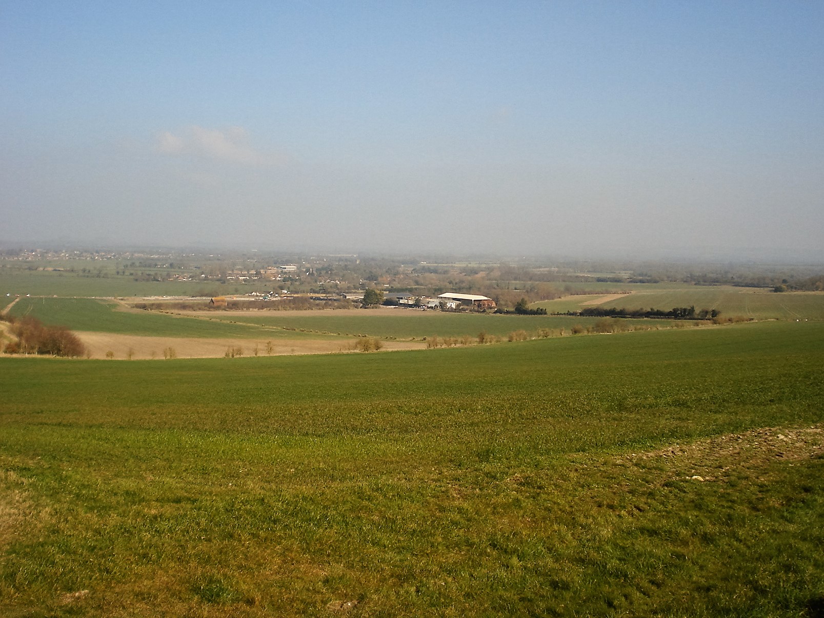
The nine of us stopped at a footpath crossroads in Harwell field for our second fairly brief lunch stop, sitting down, relaxing and enjoying the sun rays again. My planned route had a technical issue in that we could see it possibly being fenced off in the distance and next to us was a road ahead closed sign. Although it may have been possible for us to venture through I decided to extend the walk up and over a nearby reservoir rather than have to risk us retrace our footsteps.
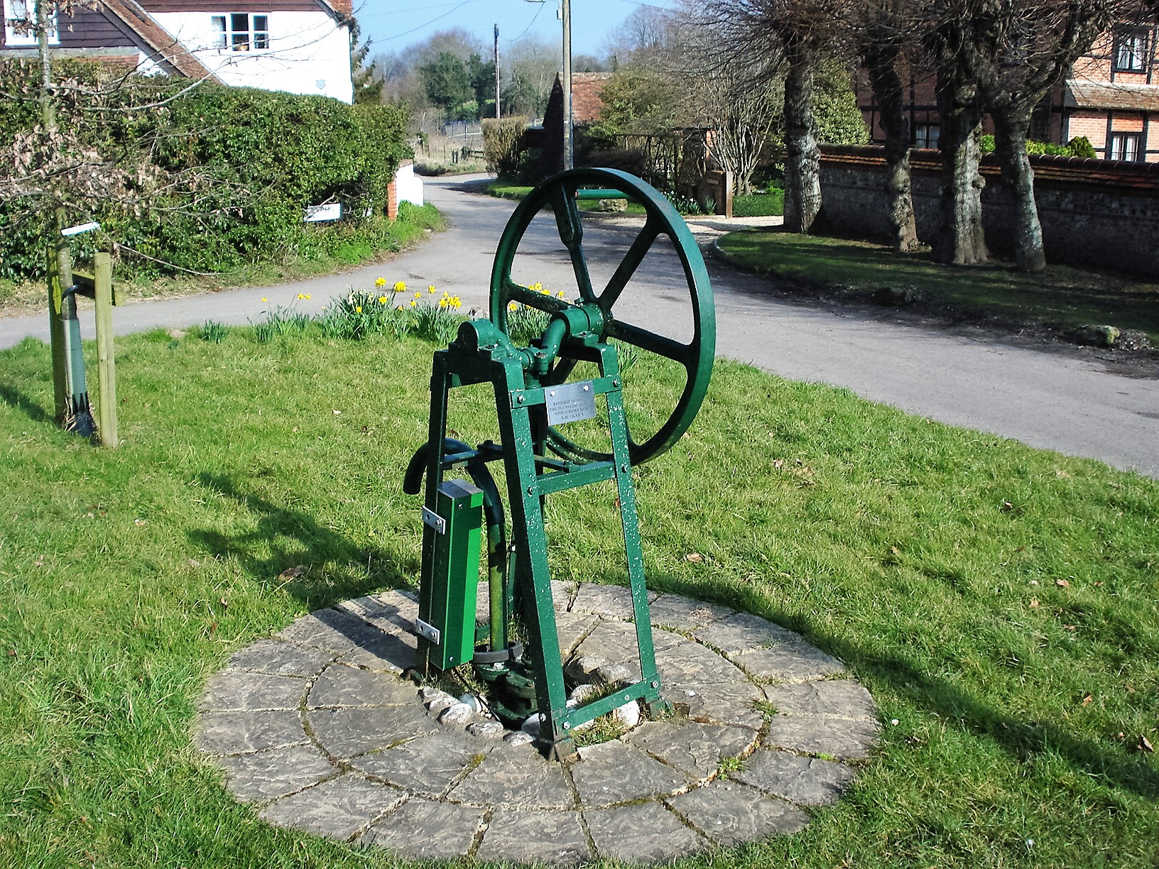
Soon enough we arrived in the sleepy village of Chilton. Well, I say sleepy, aside from the major roadwork’s that had interfered with our planned walk that is. The workmen had the day off today though. We strolled past a restored water pump before we stopped to slake our thirst at the second hostelry. We found a nice sun trap outside so yet again we were enjoying the spring sunshine.
We still had two to three miles left remaining all of which were completed over easy soft farmland with very few people other than ourselves around. At approaching 4pm we arrived back at the car park all having enjoyed another day out with the Berkshire Walkers.
- Details
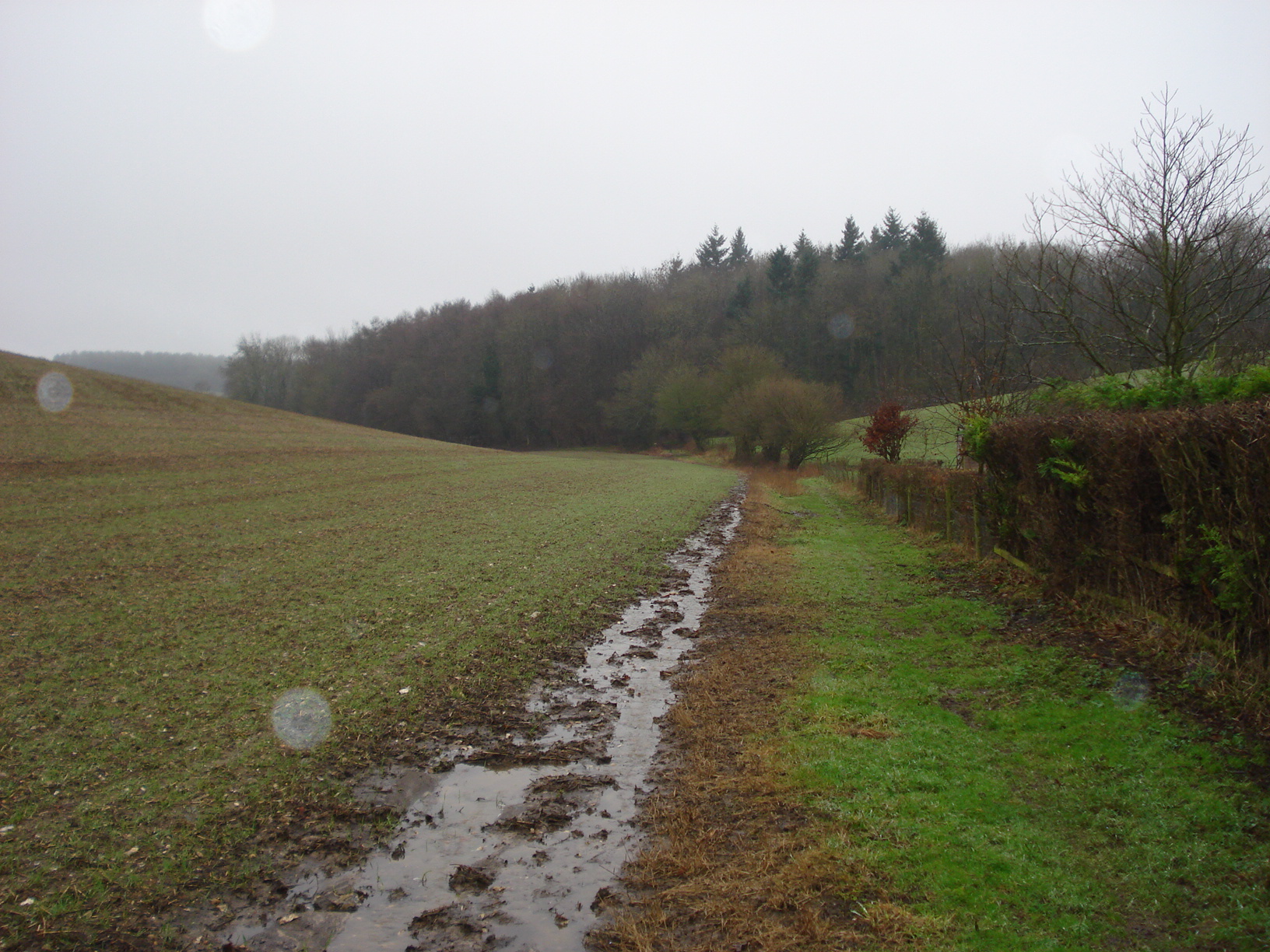
This year due to the heavy rainfall patterns that we have been experiencing has meant that many of our walks have been met by somewhat muddy stretches at times. This weekend’s walk surely tops the lot for mud. It was also the first time in a long while that we had bouts of water logging to overcome.
A few of us took the train to the start point in Hook, changing at Basingstoke along the way. Most, however, took to cars and we gathered at the car park in the north side of Hook station. We had twelve of us today which included a couple of people returning for their second walk (lets hope they decide to join our merry group!) and a guest appearance by a good friend and ex committee member who now walks with the Berkshire Weekend Walkers.
We set off in a southerly direction crossing carefully the B3349 into Hook Common. The Common, part of which is a Site of Special Scientific Interest is made up of much heath land and home to many invertebrates and wildflowers.
I decided to take a slightly different route to which I chose on my reccy; my navigational skills were playing up slightly then but thankfully we were okay today. Progress was slow due to the mud, something which we would get used to throughout the day.
The M3 motorway, which runs from Sudbury in Surrey to Southampton, greeted us with much traffic. Whoever invented bridges is a genius and even better for us we had one to utilise to negotiate this major road artery. With the sun breaking through we continue through Hook Common and Bartley Heath, with myself keeping eyes peeled as it was very easy to miss the turning that we needed to take into the open countryside.
We progressed towards Lodge Farm, which we would revisit later on the hike, and beyond to Potbridge Farm. If truth be told, the mud had pretty much eased off at this point but our progress was hindered a little by some awkward and slightly clumsy stiles. Kissing gates are always my own personnel preference.
Following a small section on a hard concrete we entered the second Common of the day, this time Odiham Common. Commons can sometimes be a little bit tricky to navigate as you are allowed to walk anywhere within them and subsequently it is often less obvious to pick the required route. In this instance I knew we were okay if we progressed parallel to the main road. On the way through we stopped briefly for one of several drink stops today and Matt kindly shared a tub of mini bites with the group. A sensible choice as it would be a later lunch stop than usual, nearer 1pm so it was nice to have something to nibble on. Thanks Matt.
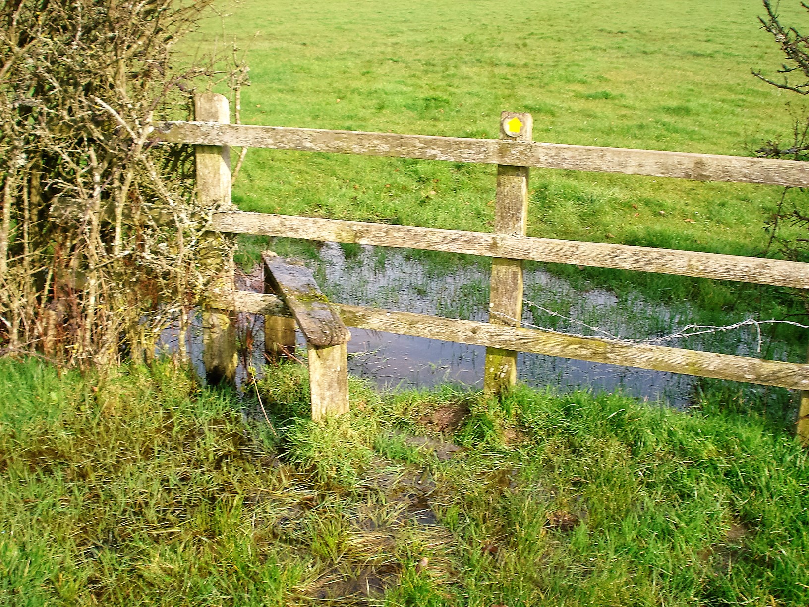
Odiham Common behind us we traversed a few other footpaths and headed to Basingstoke canal, not without some alarm as at one stile it has been left somewhat waterlogged. We arrived at the canal where I knew we could make quicker progress and I was conscious of the fact peoples tummies were starting to rumble!
Basingstoke Canal was built at the end of the 18th Century to link up with the River Thames and allow boats to travel from the docks in East London to Basingstoke. It was very peaceful and as one person remarked, the canal was incredibly clear. No sign of an abandoned shopping trolley in sight. Before long we arrived at our lunch stop at Odiham Castle. Since I did the reccy late in 2015 a tree had come down within the boundaries of the castle and this made for a good spot to sit down and tuck into our picnic lunches.
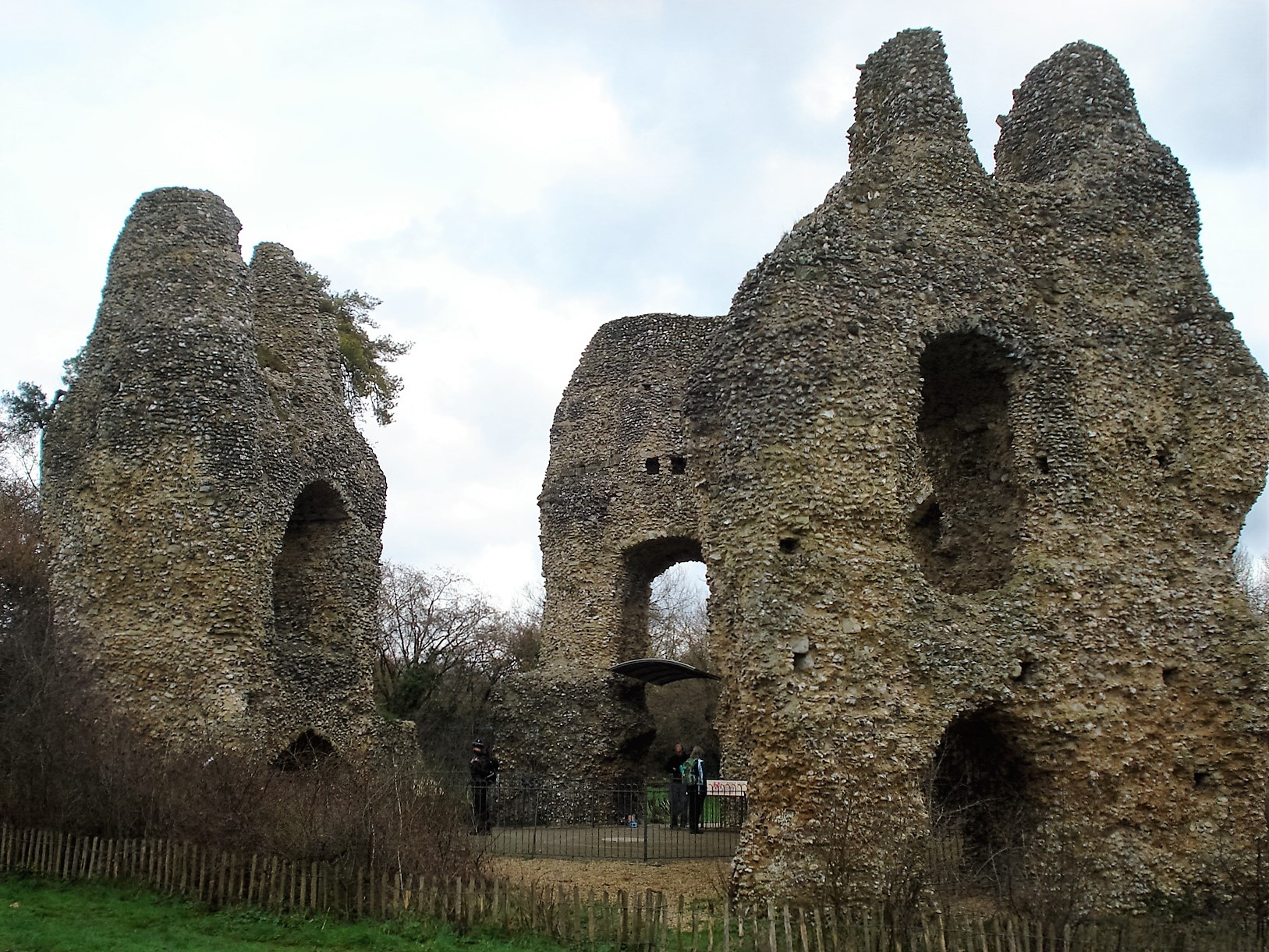
The small ruined Odiham Castle – sometimes known as King John’s Castle – was built with two stories and contained a square moat once upon a time. It is perhaps most famous for being considered as the likely point where King John headed off to Runnymead to sign the Magna Carta in 1215.
Having spent a few minutes looking round we retraced some of our footsteps to the swing bridge and turned right to head for a quick drink stop in North Warnbrough at a pub I – and quite possibly our group – had never frequented before. We sat outside in the garden; it wasn’t too cold although the sun was beginning to hide behind the clouds. We were in the company of some chickens but everyone else was inside.
We continued on but I would make a fateful error as missed the planned turning. At the time it was easy to correct and for the second time we re-traced our footsteps along the Canal. However, we turned off and to our dismay greeted with one of the muddiest, wettest fields we had encountered for many a year. Progress was very slow.And that is putting it mildly to say the least. To complicate matters a rider on horseback within a nearby compound was perhaps surprised by our group’s appearance in the mud bath and politely requested that we made conversation to quell the horse’s nerves. To be honest, that was very tricky as we had to take great care in traversing through this field, especially with barbed wire present. Thankfully we coped with it all and no casualties to report! We were starting to think when it (the mud) ever end.
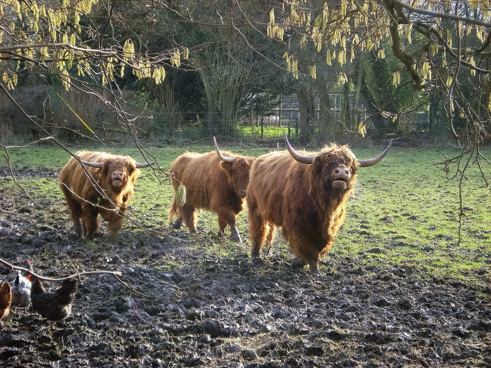
After a short rest bite, which included saying hello to a few Highland Cattle nearby, the mud would return. At times we used our initiative through a wood to get past the mud but what were almost as evil were the brambles! Eventually, we arrived at the M3 motorway again and we were on the homeward stretch. The last mile or so, to the group’s relief, was entirely on concrete without a hint of any mud in sight and before long we were back at Hook Station.
During the walk we had made one or two small diversions to the planned route that may have made the mileage nearer nine miles to the advertised eight. However, as we did not conclude the walk until 3.45pm having started at 10.30am today’s walk must be one of the slowest walks I have been on with the group. It will certainly be a walk that we won’t forget in a while. As usual everyone seemed to enjoy the day despite the odd obstacle to overcome.
Due to the thirty minute wait for the train there was even time for me to have a second pint of the day at the pub next to the station.
- Details
Today the group tried something different from the norm by putting on two walks on the same day, one after the other. The walks would both begin at the same location, the free public car park within the pretty Buckinghamshire village of Hambleden. This gave people the opportunity to bail out after the morning walk or indeed allow folk the opportunity to have a lie in and join us in the afternoon. At least that was the idea when I planned the routes a little while ago.
Having lead all my walks in 2015, including a weekend away, in near perfect weather I woke up to grey overcast skies today. This soon turned to become drizzle and then some heavier bouts of rain before we were left for persistent drizzle which lasted until maybe an hour into the walk.
Bearing in mind the weather I was delighted to lead a group of eighteen people for the mornings event. There was a brief panic for a couple of people who thought the meet up point was at the car park in the nearby Mill End. Once they realized the error of their ways and joined us we were off.
We picked up the Chiltern Way almost immediately, taking in a steady ascent through North Cot Wood. One of the themes today would include us progressing through a number of small woodlands that populate the Hambleden valley. As the land broke up into more open countryside we took a left towards and through Hutton’s Farm. Here the owner had employed some artistic effort in to trimming a number of leafy shrubs and bushes on his land. Progress continued through North Close Copse Plantation and via a brief drinks stop to Rockell End. In the woody sections it was a little muddy in places it has to be said but probably not has challenging as on a couple of other walks this year. The small tarmac section at Rockwell End gave us some relief from the soft muddy terrain.
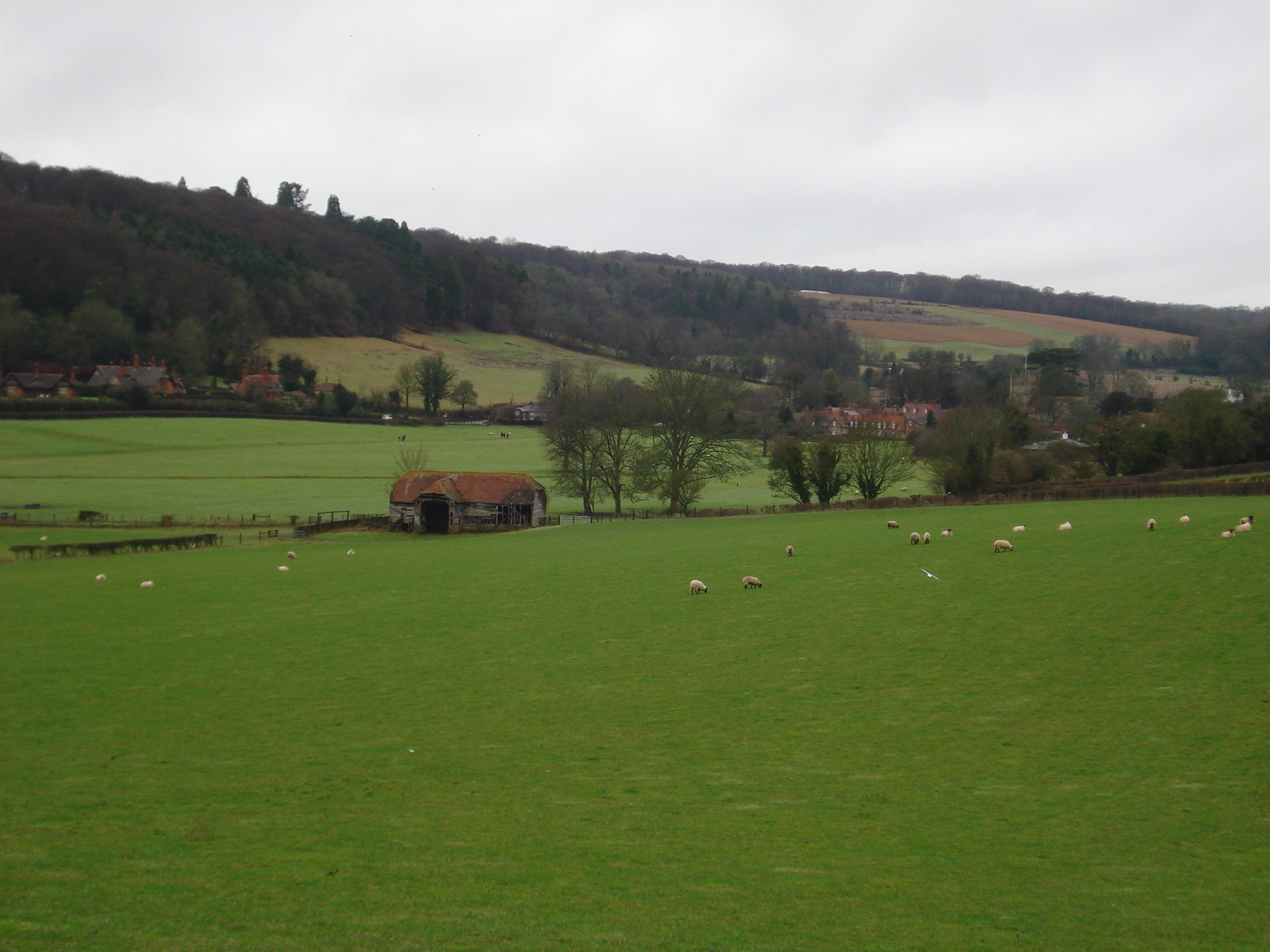
Soon enough we were back walking through the fields with the group as ever making good chat and conversation along the way. For a number of people it was the second time in space of 24 hours that we had met up following the previous evening’s pub meet in Theale. There always seems to be plenty of things to chat about, discuss and maybe debate.
We continue ahead through Heath wood passing an abandoned, derelict tractor and a fallen down tree had done its best to hinder our progression. Having made another short ascent we traversed further footpaths that took us through Rotten Row, taking a left turning via Hatcham’s Wood before stopping for lunch overlooking the valley just a short distance from Hambleden itself. The mist and murk that had greeted us earlier in the day was lifting and the final stretch was completing in rather pleasant conditions with the sun trying to peek through.
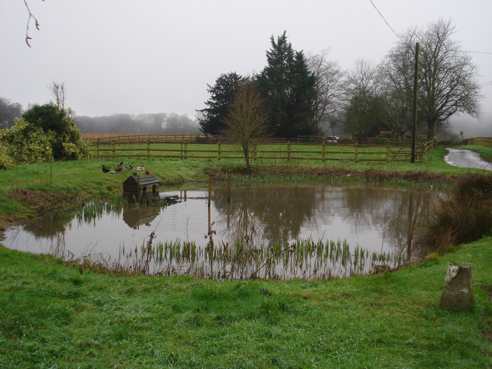
To my surprise we had made perfect timing as the afternoon walk was due to start at 1pm. We had arrived back at our cars at….1pm! Here we said cheerio to a few people while a couple of others joined us so overall we had a net loss of four leaving a group of fourteen to stride out in the afternoon.
I was debating to take my over trousers off but as mentioned by Clare it seemed sensible to keep them on and save our trousers from getting mucky, certainly a reasonable thing to consider for the pub stop at the end.
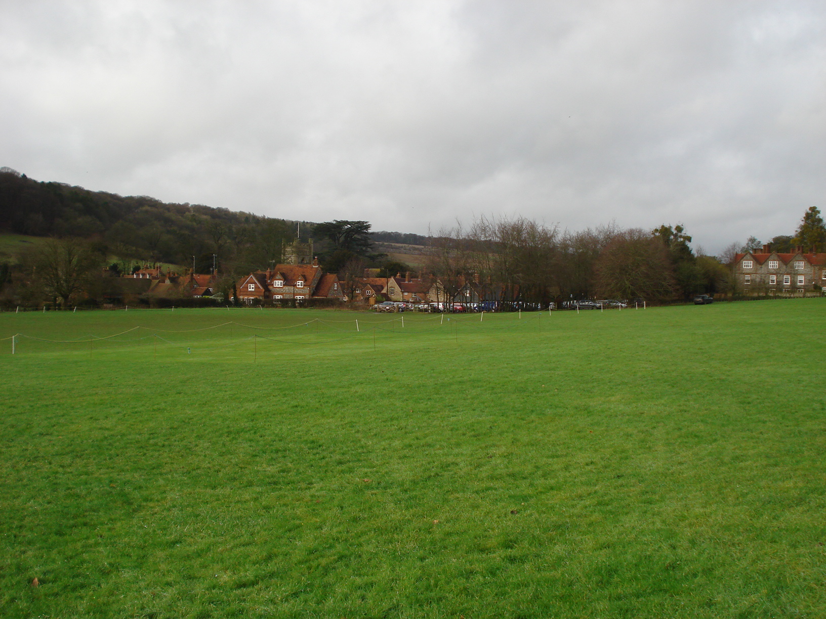
Hambleden itself is a really lovely place and some may argue the quintessential English village. There are records of a village here that date back to the 11th century, the local church built around the 14th century with a post office, shop and pub to complete the village setting. In more recent times it was used as a base for USA soldiers during the build-up to D-Day in 1944 and has been used as a location for the mini series “Band of Brothers”, “101 Dalmatians”, “Sleepy Hollow” amongst other things.
The afternoon walk took us through the church and the village and up to Pheasants Hill. Along the way we saw a number of Red Kites circling above us, a nice little pond and observe some well kept gardens by the local residents. Having squeezed our way through a narrow path we had another steady climb to undertake. As always, this was completed by the group without alarm other then, perhaps some puffed out cheeks.
The footpath took us out to a farmstead at Pheasants and then Bushes Wood. I was beginning to lose count at how many woods we were navigating through. A short stretch on tarmac soon followed before we veered off along one of the footpaths we took to earlier. For the second time in the day we had to negotiate our way past the fallen tree and observe the abandoned tractor again. It wasn’t too long that we were the homeward bound and taking a fairly direct route back to Hambleden although the slippery mud made for a slightly trickier descent then we would normally expect.
Walk completed most of us that had remained headed to the hostelry next door to sample one of their fine ales or other refreshments. It was certainly a perfect way to end a lovely day with the Berkshire Walkers.
- Details
Our group started 2016 with a walk over near Henley which attracted five members. A week later and with the sun beating down we had a bumper turnout of twenty eight. No doubt a few people fulfilling their New Year Resolution obligations. If truth be told our walks from Pangbourne are usually well attended and with today’s walk being a five and a half miles we were always hoping to see a few new faces amongst the usual regulars.
The walk was led by Clare. I had helped Clare with the reccie only the day previously although then we ended up with rain and completing it in darkness. We were prepared for the slippery mud, however were rest of the group? As we congregated outside Pangbourne station it was clear we were all well kitted out so shouldn’t pose a problem.

We set off along the Thames Path and Pangbourne Meadow, home to mostly grassland that makes for ideal picnic opportunities in the summer and is residence to some reeds and scrubland and a number of alder trees nearby. The group soon headed in a southerly direction hugging a small stream for a short while. We were thankful for a welcome stretch of tarmac as we had to fight our way through some very muddy patches early on.
Soon enough we left the tarmac, climbing a short hill to Sulham Woods – which is a Site of Scientific Interest – via more mud and through woodlands. This footpath here was familiar to those who were on our Theale walk in late Spring 2015 although we were heading in the opposite direction this time. We found ourselves a nice clearing within the woods to settle down and have our picnic lunches. Our walk leader Clare took the opportunity to hand out Membership forms to the maybe eight or ten people who were on their first walk today.
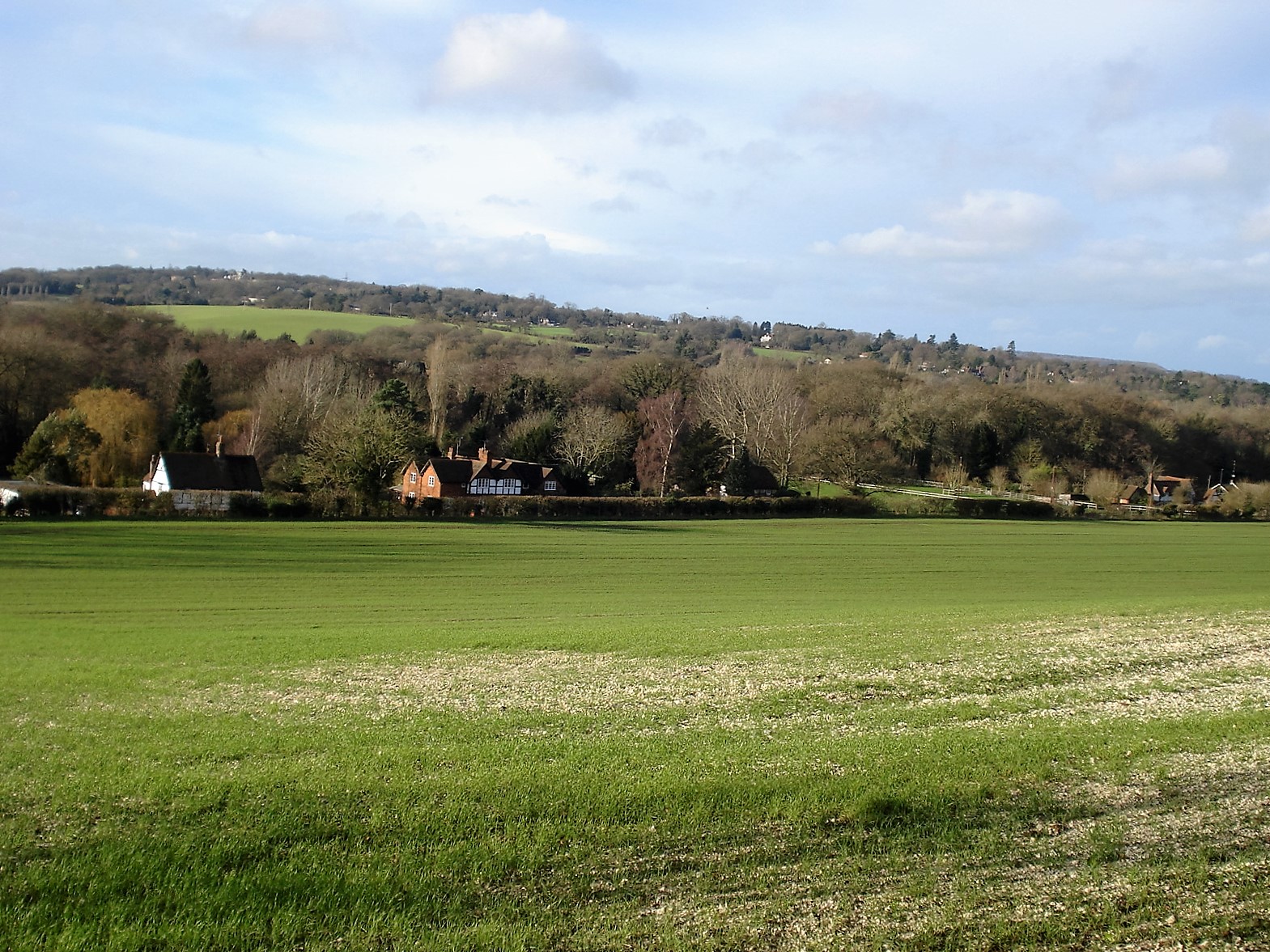
Lunches complete, forms handed out we were on our way again, picking up the Berkshire Circular route before heading west through Sulham woods again before descending to the village of Tidmarsh. In doing so we had to use a little bit of imagination to how best tackle a footpath that had become a “river of mud”. Oh, how we have fun on our walks.
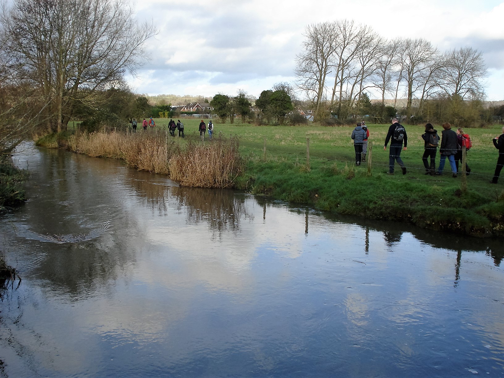
We completed the walk by returning to Pangbourne via a tarmac footpath alongside the A340 and then the final half a mile we picked up the route along the River Pang. We said cheerio to half the group when we returned to our starting point whilst the remaining others headed to the pub for some liquid refreshment. All in all a very enjoyable walk and we especially look forward to welcoming back the first timers sometime soon.
- Details
The latest adventure in our group took us back to the sleepy village of Kintbury, situated half way approximately between the West Berkshire towns of Newbury and Hungerford. Due to engineering works those that took public transport had to get the rail replacement bus from Newbury today. However everyone in the group, fourteen of us, met our walk leader Clare in good time and managed to make prompt start at 10.45am.
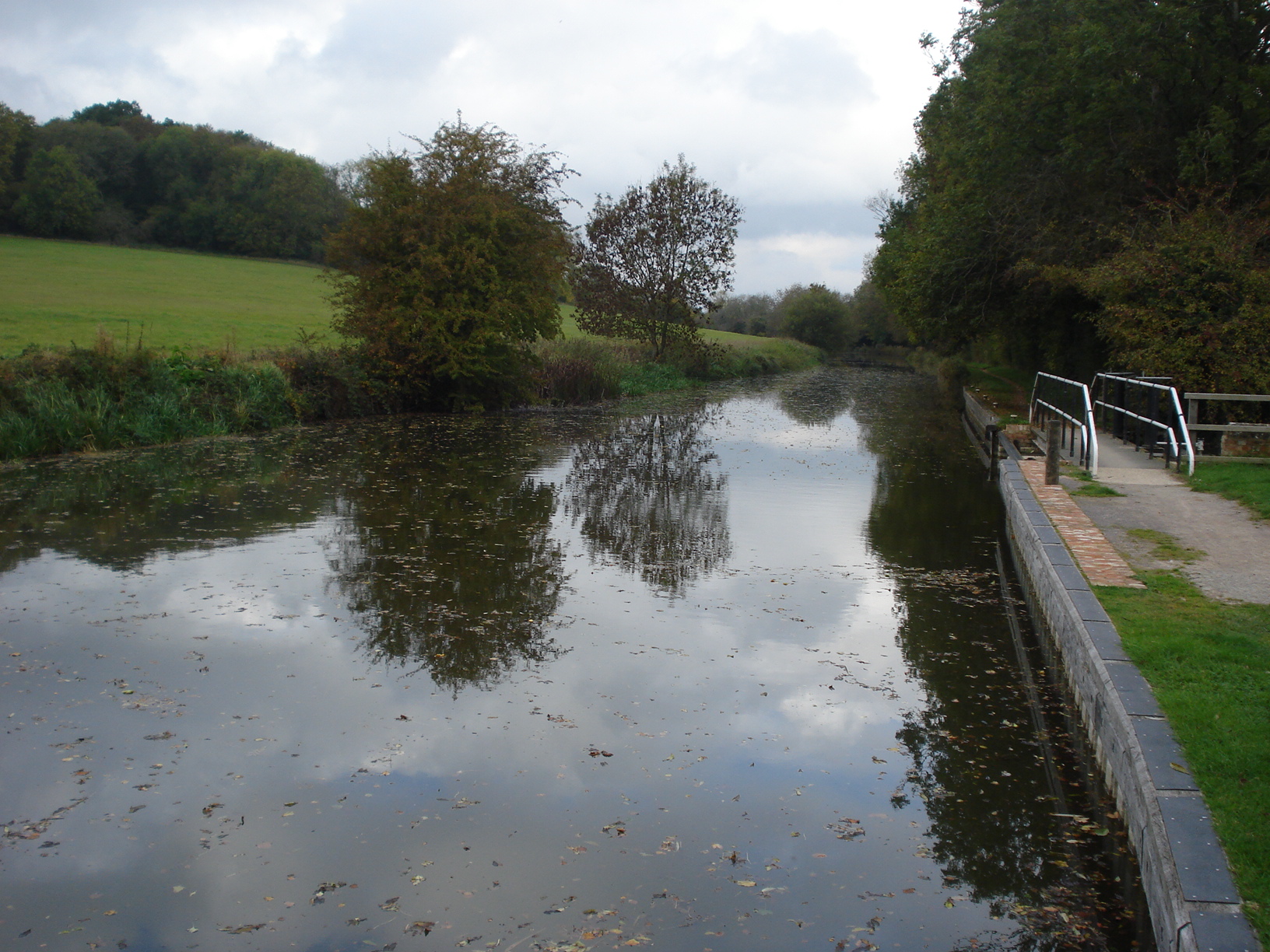
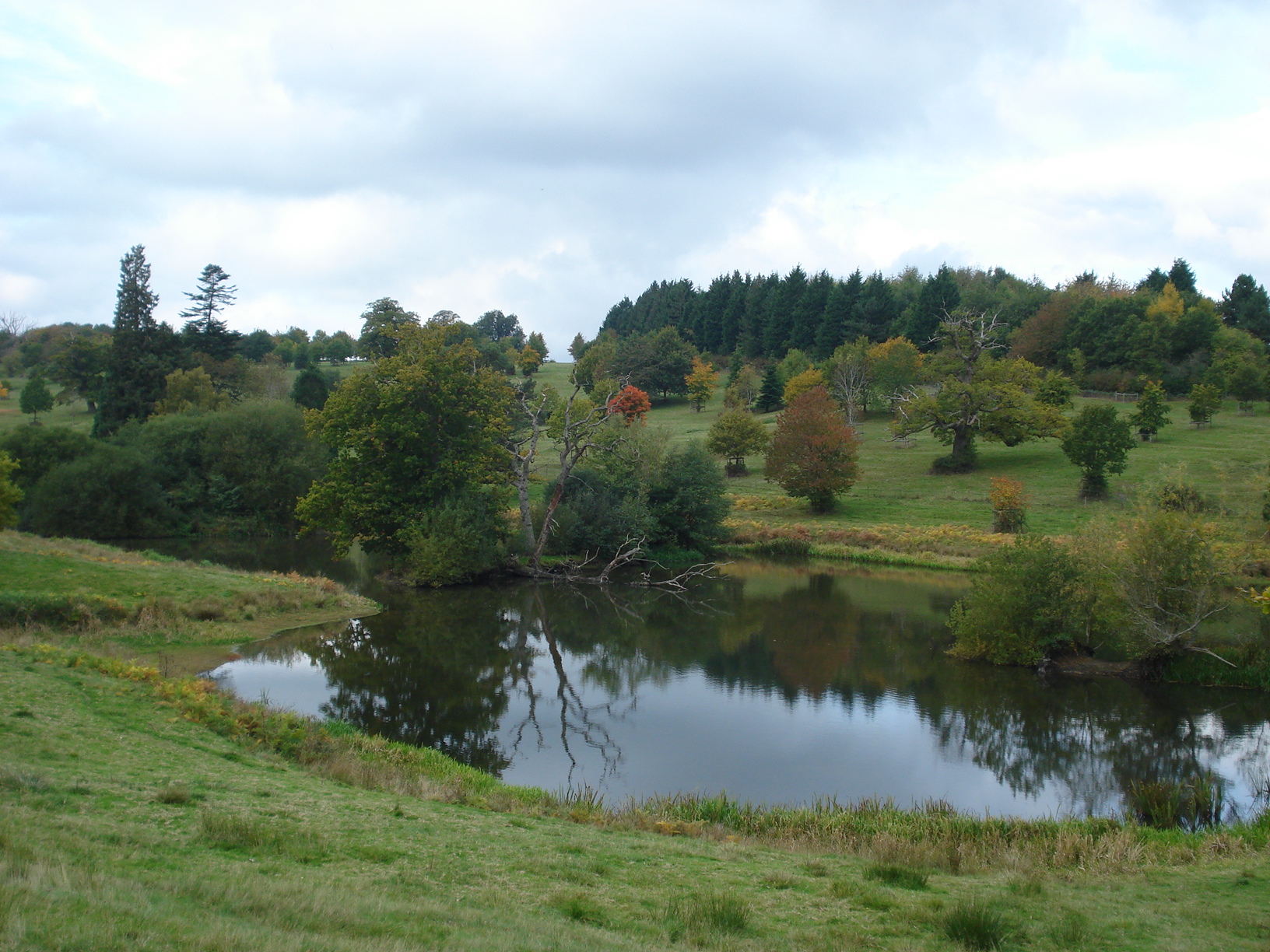
We frequent Kintbury on a fairly regular occurrence over the years and in many instances the route we take us southwards towards Warbury Hill. However, today it was a little different and heading east along the Kennet and Avon Canal for a good couple of miles. Unusually the tow path and canal were very quite and not much activity could be observed: it defined tranquility. We approached and then went beyond Shepherds Bridge and Dreweat’s Lock before leaving the towpath at Hamstead Lock. The walk then took us through the rather delightful Hamstead Park, passing the odd fishpond the group stopped briefly to marvel at the views.
It was not long before we stopped and settled down to have our picnic lunches. It was an ideal time to refuel for those of us (well the author of this blog anyway!) who were struggling a little after a late evening at a local Reading nightspot. Lunch completed we advanced through small woodland. It was here that our walk leader Clare thought she could see a dead sheep on its back with its feet up in the air perhaps a couple hundred metres into the distance. Most of us thought she was mad and presumed it may have been a peculiar shaped rock; I mean, a dead sheep with legs up the air! As some of us walked past, Leah broke free from the back of our group and sprinted to have a closer inspection. It turned out it was a sheep after all. Rather than a dead shop it was certainly alive and well but had fallen down a small ditch, fell over and got himself stuck with his legs up in the air. Leah came to its rescue and after a few seconds managed to free the sheep from its peril and all seemed well again. Well, this was something new to happen to us on one of our walks.
We soon left Hamstead Park behind and continued towards the village of Hamstead Marshall, taking care along the country road. Thankfully the road section was fairly brief and before long we took a left and approached the Stray Dog Centre. The loud continuous barking made us in doubt what or rather whom was being housed in the buildings.
After this we progressed through more fields and further woodland where we did our best to try and lose a member of the group. I won’t mention any names – they know who they are – but they needed to leave the group for a moment or two and took shall we say a slightly longer than expected route to return to the group. It required a few shouts to identify their whereabouts but within a couple of minutes we had located each other. It was quite easy to lose your bearings here as the foliage was a little dense and somewhat overgrown in places.
The weather was yet again being kind to us. Up to this point we have had very few what we would classify as “wet walks” during 2015. It remained dry for the remainder of the walk and the sun even broke through towards the end.
We approached Kintbury on the footpath that connects the village to Inkpen Common further south. On arrival in the village a decision was made and we headed to the pub for well earned liquid refreshment.
- Details
The Yorkshire Dales – a magical land of geological wonder, Industrial magnificence, waterfalls and a breathtakingly peaceful atmosphere. In its heart is the protected area, The Yorkshire Dales National Park. It is for these reasons that I decided to plan a weekend away with our group to explore and discover the magic that existed in these parts.
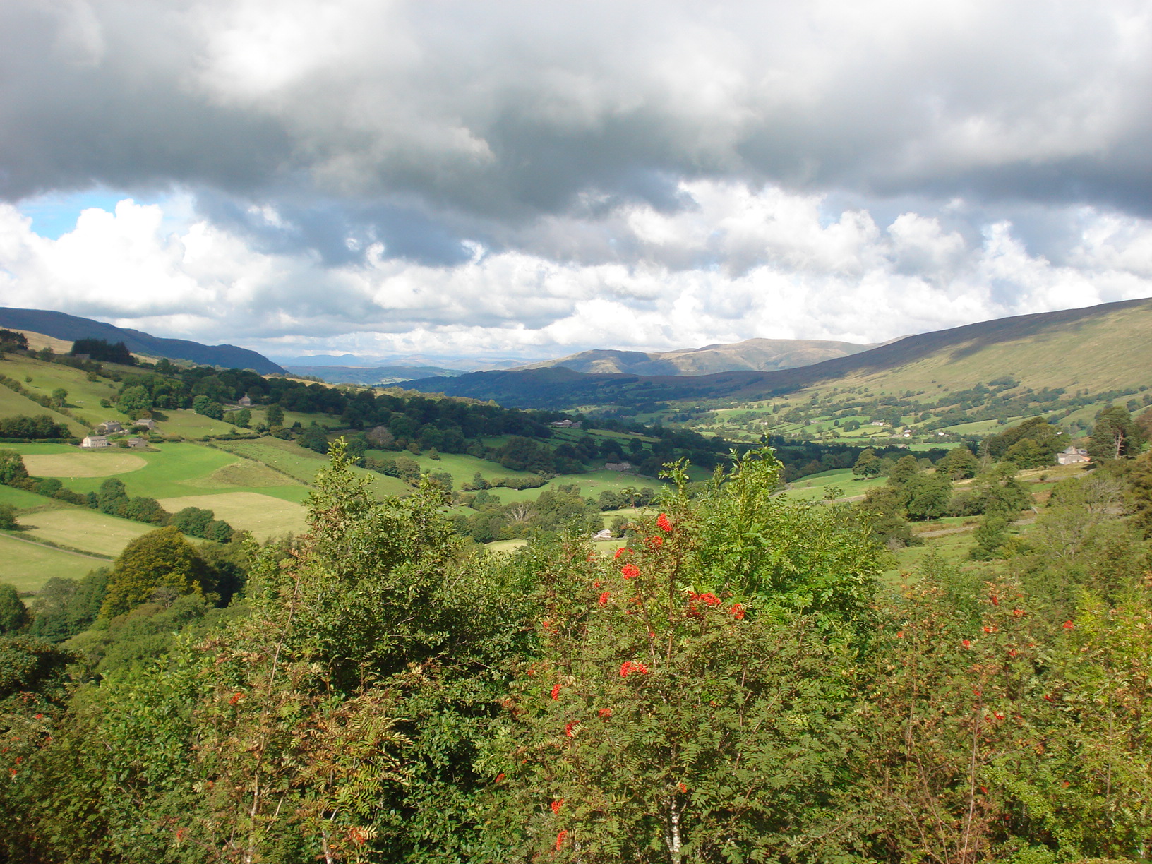
The plan was for the group to be based in the village of Dent which is located not in Yorkshire as you might expect but in Cumbria but is still within the Dales itself. The village itself is situation within the valley of Dentdale, just south of Sedbergh; a farming community with scattered homesteads spread far and wide. A single cobbled street was the centrepiece of the settlement. There were a few options for people to be based in hotel/pub accommodation while a campsite within a two minute walk up the country lane from the village centre proved a perfect spot for many of us. The views we had in the morning (and in the afternoon and evening for that matter) were absolutely splendid.
In total we had eleven of us booked on the trip. That included two friends from the West Kent Walking Group who we were delighted to welcome along and who knows perhaps help them inspire a trip for their own group. For the second weekend away in 2015 the campers outnumbered the non campers. As a camper myself I was hoping for fine weather, we were not disappointed although a little bit chilly on a couple of evenings.
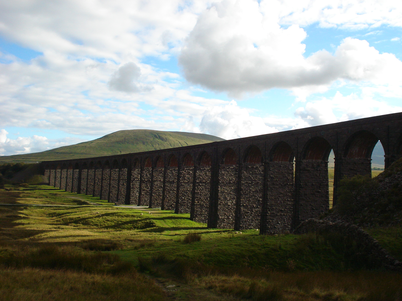
The group arrived on the Thursday afternoon/evening at various times with a few of us teaming up to car share to reduce costs and minimise our carbon footprint, something that I always like to encourage, where possible. For the early arrivals at the campsite we had a few hours to eat up before the planned evening social in the village was due to begin. With the sun beating down, we decided to pay the magnificent viaduct at Ribblehead a visit. This wonderful structure is located right in the shadows of the magnificent Yorkshire Three Peaks of Whernside, Pen-y-Ghent and Ingleborough, the mountain we would climb on the Sunday. There is pub here which is where I based the group for the previous weekend I organised in 2010.
However before we got to the start point of our late afternoon amble we were rudely stopped in out tracks along the country lane out of Dent. A herd of cows were being moved from the green and pleasant fields that surround us all round to the milking shed. It held us up for a good ten or fifteen minutes but it was a joy just to marvel in the idyllic rural life of this farming community. Before long we arrived at Ribblehead and made a short stroll up to the aqueduct near Bleamoor tunnel, passed the old signalman’s house and signal box and returning to have a close inspection of the viaduct itself. Ribblehead viaduct took four years to be built, completed in 1874 and took around a thousand navvies to build although a hundred or so died through disease or industrial accidents. I have been to the viaduct many times since I was a kid and I don’t think I have ever seen it as magnificent as these mainly due to the gorgeous setting sun.
Stroll completed, we ate at the Station Inn before we returned to the village where we met the others in the pub for the evening social.
The first official walk of the weekend began on the Friday. I had made the decision to provide an opt out option with approximately 4/5 miles before end of walk and drove my car and parked up at Dent station. I don’t recall anyway else in our country where the station is so far detached from the centre of the village. The group gathered at the campsite where a few of us were camping – it had been a mild but slightly damp night for us campers – and got the hike started at 9.30am, allowing us plenty of time to complete the walk in daylight hours.
Initially the walk didn’t start so well as I initially struggled to locate the footpath from the campsite, the start was a slightly different (but not much!) route from my recyy in March. However there was no real panic and before long we were up and running and we soon made steady progress through the various rather narrow and very springy miniature gates. This initial footpath links up various barns through Dentdale but it is not always that easy to spot the gates so made navigation slightly tricky at times. After we came off this path and onto the road near Howgill Bridge it was noted by one person that we could have simply have just walked down the road rather than make the climb and squeeze our way through the gates. However, that would be far less exciting.
The next stage of the walk was on flat land but even here it took a moment or two to pinpoint the next style or gate to continue our progression. We soon followed the spring that we hugged the path to our left knowing that fairly soon we would have a fairly arduous climb. Before we did that we had our first field of cows to overcome having taken the path over Bigholme Bridge. Thankfully the cows were on the best behaviour, including the bull that was sitting down and possibly hiding as I decided not to mention him to the group who seemed completely unaware of his whereabouts. Its possible people might still be unaware that there was a bull in the field until they have read this article!
Then arguably the toughest part of the walk was upon us. We had to ascend what is known on my OS Map as “Tough Hill”, a climb of maybe 180 metres in a third of a mile over thick and occasionally boggy grass. The group made steady progress and ensured that we took in the magnificent scenery that circled all round us every step of the way. In March this stretch was harder as underfoot it was so much wetter but it was still not easy for us by any means. To compensate for this the next stage (perhaps 2 miles) was on easy soft ground which gave plenty of opportunity to look around at the wonderful beauty of the Yorkshire Dales wilderness. During this period of the walks we spotted a small dip in the lie of the land that provided us with some shelter away out of the wind which was perfect for us to settle down and have our lunch. We continued on, walking past shake holes, a number of springs and the odd remains of a stone buildings perhaps giving a glimpse of what life may have been like for those who lived and roamed these lands a century or two ago.
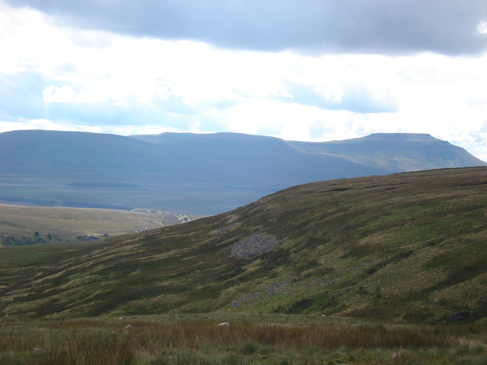
Having just passed the footpath that walkers take to ascend one of the Yorkshire Peaks, Whernside, and a lovely waterfall to our right we soon arrived at Force Gill aqueduct located near Bleamoor tunnel. A nice spot where I have been many times over the years, ever since I was first introduced to this area as a child in the mid 1980’s. In those days the land was not managed as well as it is now. A well maintained footpath can be picked up here and take the rambler through to Ribblehead viaduct maybe 2 miles away although we would be returning back to Dent.
We had arrived in North Yorkshire. Our stay in this county would not last long as we started our return journey over and beyond the three air shafts that serve Bleamoor Tunnel. Originally there were seven air shafts which helped enable the tunnel to be constructed in the 1870’s but four of these were subsequently filled in while he other three were maintained for ventilation purposes. The North Yorkshire/Cumbria border resides along the tunnel somewhere.
As we descended down the hill, the glorious sunshine that we were enjoying had relented somewhat which even for mid September came as a welcome relief to us. The walk was almost totally exposed to the weather and there is so little tree cover in these parts. Having said that, after we stopped for a short break we soon heading through Hazel and Mossy Bottoms which included a couple of tree plantations. Moving on we arrived at Dent Head farm where we could see a viaduct, one or two small waterfalls and as we continue to progress a range of farm animals; sheep, chickens, goose, different varieties of cows, you name it. Red squirrels were also lurking about if you were lucky enough to catch one.
The walk was soon coming to its conclusion. My end of walk plan today was to leave the group at a pub whilst I go and pick up my car from Dent station and drive folk back to the village. However, that plan went out of the window as the hostelry did not open until 7pm. So plan B. We split into two groups; “A” group came back with me who included Paul whilst “B” company strolled on a bit further and later picked up by Paul. This ensured we all had a little bit of relation time in the village before we got showered and changed in readiness for a few drinks and dinner in the village pubs. And yes, I had a whisky! I think today’s exercise was worthy of such a tipple.
The next days walk was further afield and required quite a long drive to get to but it was certainly well worth the visit. Malham Cove is one of our country’s unquestionable beauty spots, in essence a curved limestone cliff at the head of a valley with a spacious area of limestone pavement at the top. We consolidated cars and most of us who were camping decided to depart the campsite a little earlier to take advantage of a cooked breakfast from the café in Malham itself. It certainly set us up nicely for the days walk.
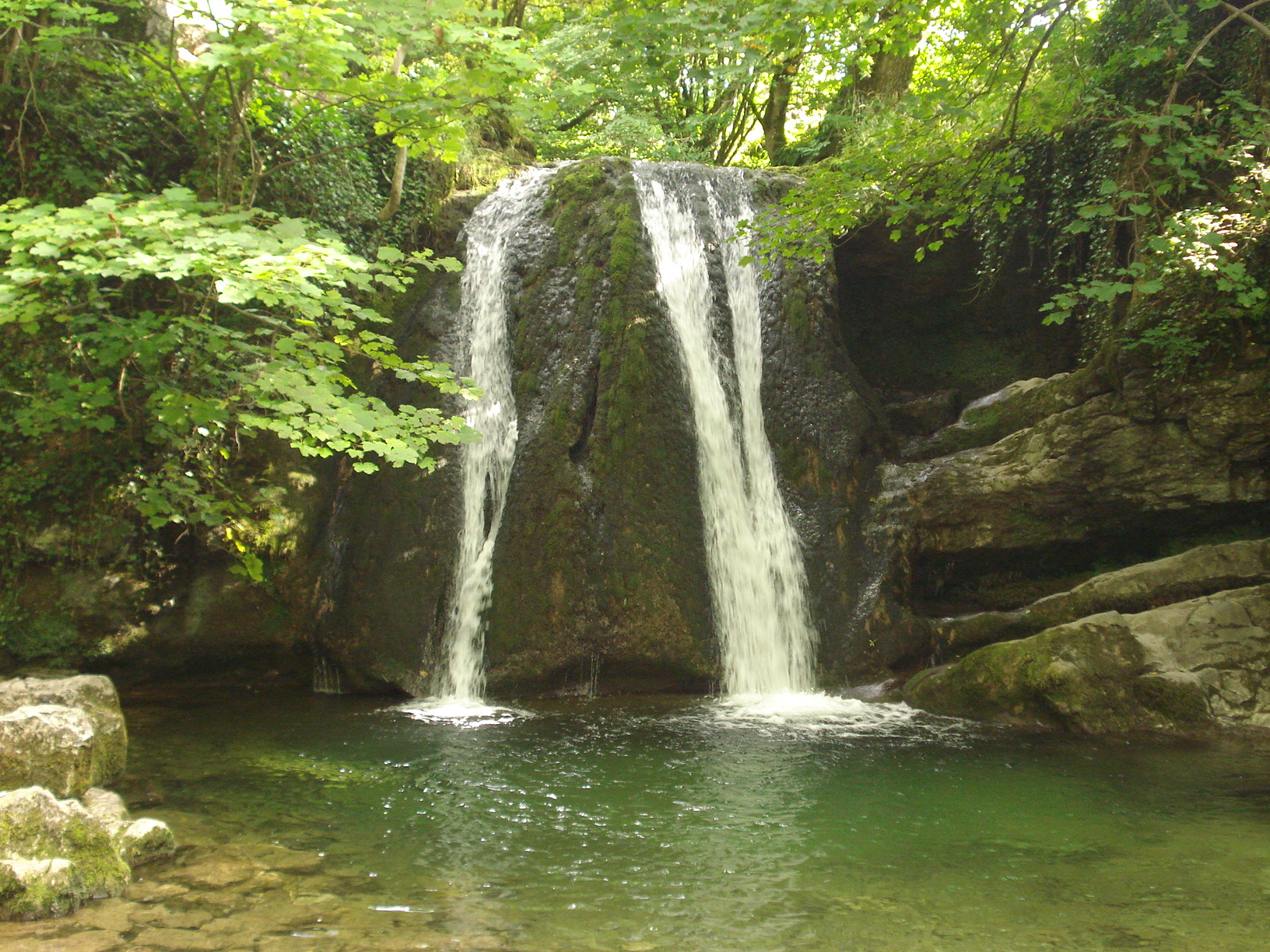
Once the group got together we soon made our way along a well maintained footpath to Janet’s Foss which is nestled in a rather magical wood in Malhamdale, not far from Gordale Scar. Foss is the Nordic name for waterfalls (or force) while the name Janet is thought to reference an old folk tale that inhabited a cave at the rear of the fall. We stopped here for while to marvel at both the waterfall and the deep pool below. A few of us braved the stepping stones to get a closer look of the cave as well.
Earlier in the walk we made a decision to re-route the planned itenery and instead of taking the footpath prior to Gordale Bridge we decided to carry straight on to Gordale Scar, a great limestone gorge formed in the ice ages. Its shear size can only be fully appreciated once we had made our way through a field and campsite nearby. We were somewhat in awe of the ravine’s magnificence and stopped for a short while to fully appreciate it. However, we had to make a decision at this point as to progress further as it did involve some very basic scrambling. Fortunately, a member of the group knew the area very well and offered an alternative route for those that did not wish to proceed through the gorge. The two groups were to meet again maybe an hour or so later.

For those of us that ventured up the rocks and through the Scar we were rewarded with a waterfall to the right; yet another but we were not complaining and allowed for another of what seemed like endless opportunities for a photo. We stopped at the wall whilst we waited for the others who had made a bit of detour. It allowed us a good half an hour or so to lay back and bake in the glorious sunshine that was beating down upon us. The weather Gods were certainly being extremely kind to us this weekend.
Soon, the four who had left us were spotted sauntering down over the brow of the hill and before long the group had joined up and progress continued along flat land towards Malham Tarn where we stopped for lunch having briefly set foot on the Pennine Way. The Pennine Way is the United Kingdom’s first National Trail and in 2015 celebrated its 50th anniversary so it seemed appropriate to at least sample it. Here we took in the lovely views of what is England’s highest lake and is apparently one of only eight upland alkaline lakes in Europe. We circulated the entire lake passing Malham Tarn Field Studies Centre where a view boards provided us with some additional information of the area and a convenient bathroom was located. We then took a slight short cut over some rather springy boards through Malham Tarn National Nature Reserve, which is designated as a Site of Special Scientific Interest.
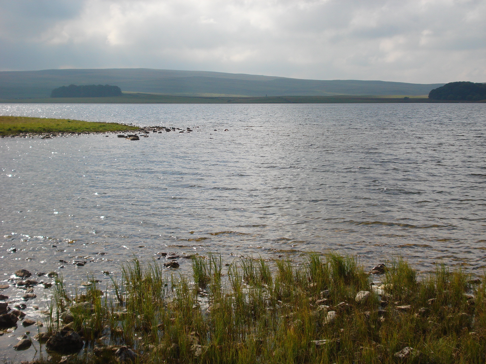
We continued to make progress in a southerly direction over some road but then on open land towards and past an isolated smelt mill chimney, standing as a relic of an Industrial past. The weather was still holding well but my navigational skills less so. We were continuing towards the highlight of the walk, Malham Cove itself and I was not on the footpath that I thought I was on. However, it turned out I was on the correct footpath so without further alarm we proceeded towards the Cove.
For anyone who was not on the trip and reading this blog (thank you for spending the time in doing so) I would strongly recommend a visit to the great limestone amphitheatre that is Malham Cove. At the top the limestone pavement made up of small flat blocks and some narrow deep crevices in between. The view overlooking the valley is sensational. What made it more special for us was that we were walking in late afternoon sunshine. This blog cannot do this justice.
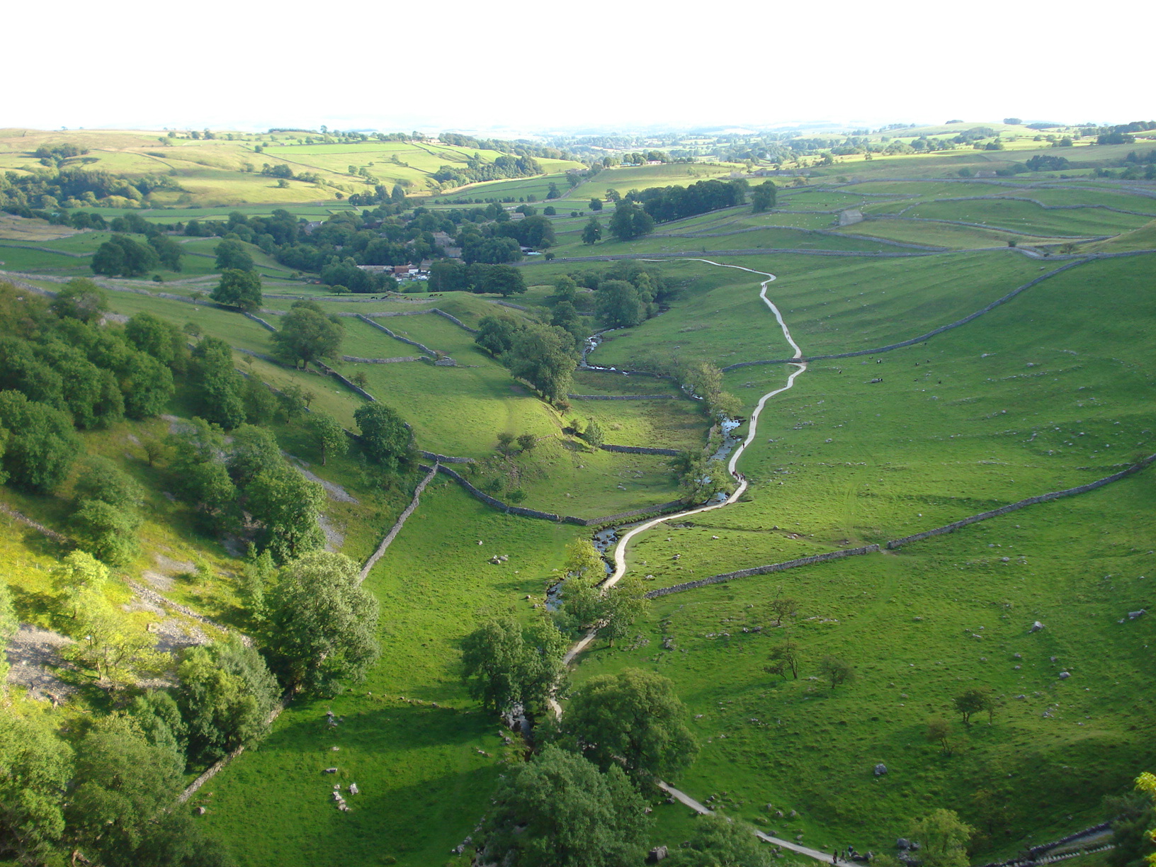
We descended the plateau over some well made steps to the foot of the cliff a distance of maybe eighty metres or so. At the bottom, we turn left to get a closer look and we saw a few hardy souls trying to ascend the cliff itself and another gentleman undertaking a more sedate passion of painting a picture. Soon we left the Cove behind us to return to Malham although I made the point to the group “Don’t forget to turn round” because the views looking back were rather special and unique.
Finally we arrived back at Malham at just before 6pm. The previous evening we made the decision to bring a change of clothes today in readiness of being a little cleaner and gave us the option of eating before we returned to Dent. A decision was made and we decided as dinner time had arrived we would relax in the pub in the Malham rather than the other option of on the return journey. I won’t mention here of the journey back to our village except to say it was rather eventful and meant the full group were not back together until maybe gone 9.30pm.
Sunday morning arrived and with it so did our final walk of our long weekend away. The plan today would be to climb Ingleborough, at 723 metres the second highest mountain in the Yorkshire Dales after Whernside. I had picked this climb to complete the triple set of ascending all three peaks, the other being Pen-y-ghent, after I had led the Berkshire Walkers to climb the other two in 2010. We would have a few people dropping out from the group so numbers were down to eight.
The route I chose was slightly unusual as most people tend to climb starting from Ingleton, Horton or set off from Clapham via the Ingelborough Cave. The later option was the trail which we would be returning from. Instead I took a slightly longer route heading south easterly from Clapham towards and through the sleepy village of Austwick. In getting there we had to head through a field of cows many that of which were laying out cold on the field still catching their forty winks. I have to say I have been through many fields of cows over the years and I can not honestly remember ever seeing any of them sleeping! I was slightly perturbed as the last thing we want to do was suddenly disturb them especially with young calves about as well. Thankfully we got through okay. One person commented on what they deemed a peculiar location to situate a park bench, in a field full of cows. I pointed out that cows regularly move from field to field and it is just pot luck on the day as we whether we would come across any or not. For what it is worth when I reccyed the walks I encountered no cows at all.
Leaving Austwick behind we gradually made progress over undulating fields passing more cows before making a small incline where we would be witness to the wonders of Crummock Dale. This dale is surrounded by high limestone escarpments. It was here that I took the group the last time I organised a weekend away and I certainly wanted to return. I was aware of the perfect spot where we could sit and have our lunch and took the group there. Bliss! There was barely a soul round other than ourselves, the weather was holding fine although bit more overcast than the previous couple of days and we sat back and enjoyed the views.
Lunch done we said cheerio to a couple members of the group who wanted to get on and make quicker progress as they were returning to leafy Berkshire later that same day. Our group was down to six and the ascent of Ingelbrough began in earnest. In fairness, the climb was not too bad. It started off being slightly rocky but soon enough we reached a marked footpath that took us all the way to the summit. We stopped briefly before the final push to fuel up with some extra sugar. However, I noted the weather was turning slightly and the cloud descended upon the summit.
We made the summit without alarm but alas as I suspected a little earlier any views were obscured by the cloud. Due to the weather conditions I abandoned hope of locating the trig point, visibility was down to a few metres only, and ensured the group left the summit as safely as possible.
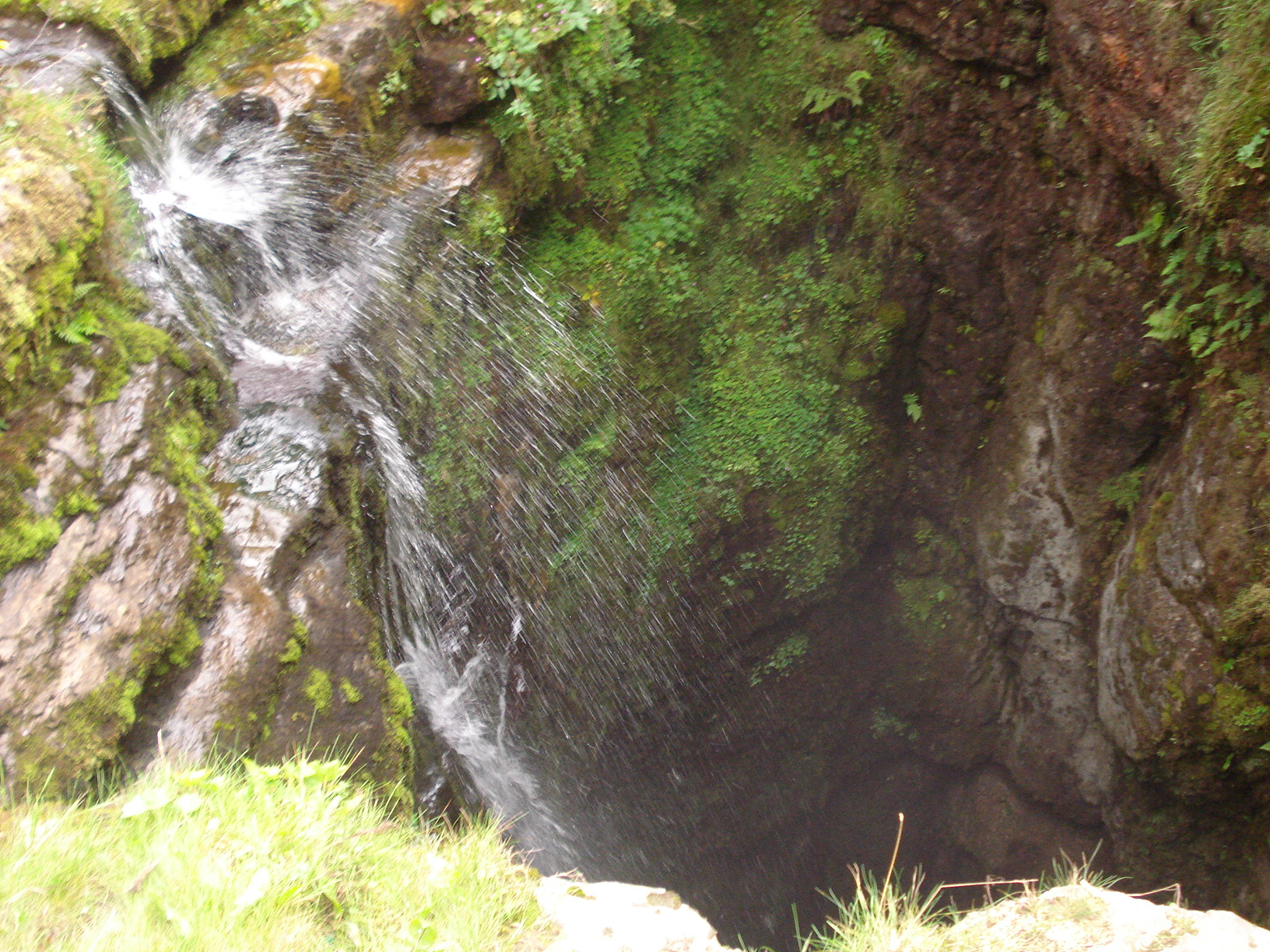
Our descent took us via Little Ingelbough, taking the left and descended down to the natural cave at Gaping Gill, a one hundred metre pothole with a stream flowing into it. We stopped here for a few minutes and took advantage of another photo opportunity of the tallest unbroken waterfall in England although it must be said we could only view the top of it.
The final walk of the weekend was drawing to its close via the wooded limestone ravine at Trow Gill. This was slightly less impressive then it sounded. It was about here where we experienced a few drops of precipitation would you believe. The only rain to fall on us all weekend and it relented pretty much immediately. The walk concluded via a long straight lane back to Clapham past Ingelborough Cave in time to hear the village church ring out five o’clock chimes. We had returned to our cars all thoroughly worn out but I like to think satisfied of some splendid walks over the three days.
We returned the village of Dent, showered and changed before heading for the hostelry for dinner and sample more local ales reflecting upon our experiences over the weekend.
On Monday a couple of us headed to White Scar Show Caves just outside of Ingelton and joined a tour to discover the unusual features within that limestone labyrinth.
Tour completed it was time to head back and look back on what has been another fantastic weekend away with the Berkshire Walkers with memories to treasure for a long time ahead.
- Details
Thirteen of us gathered outside the superstore at Didcot railway station. Today’s walk was an advertised 11 mile linear hike that ended up at Goring. I say “advertised” it is probable the mileage was a mile or two over that. Well, it certainly felt like that to me by the end of the walk.
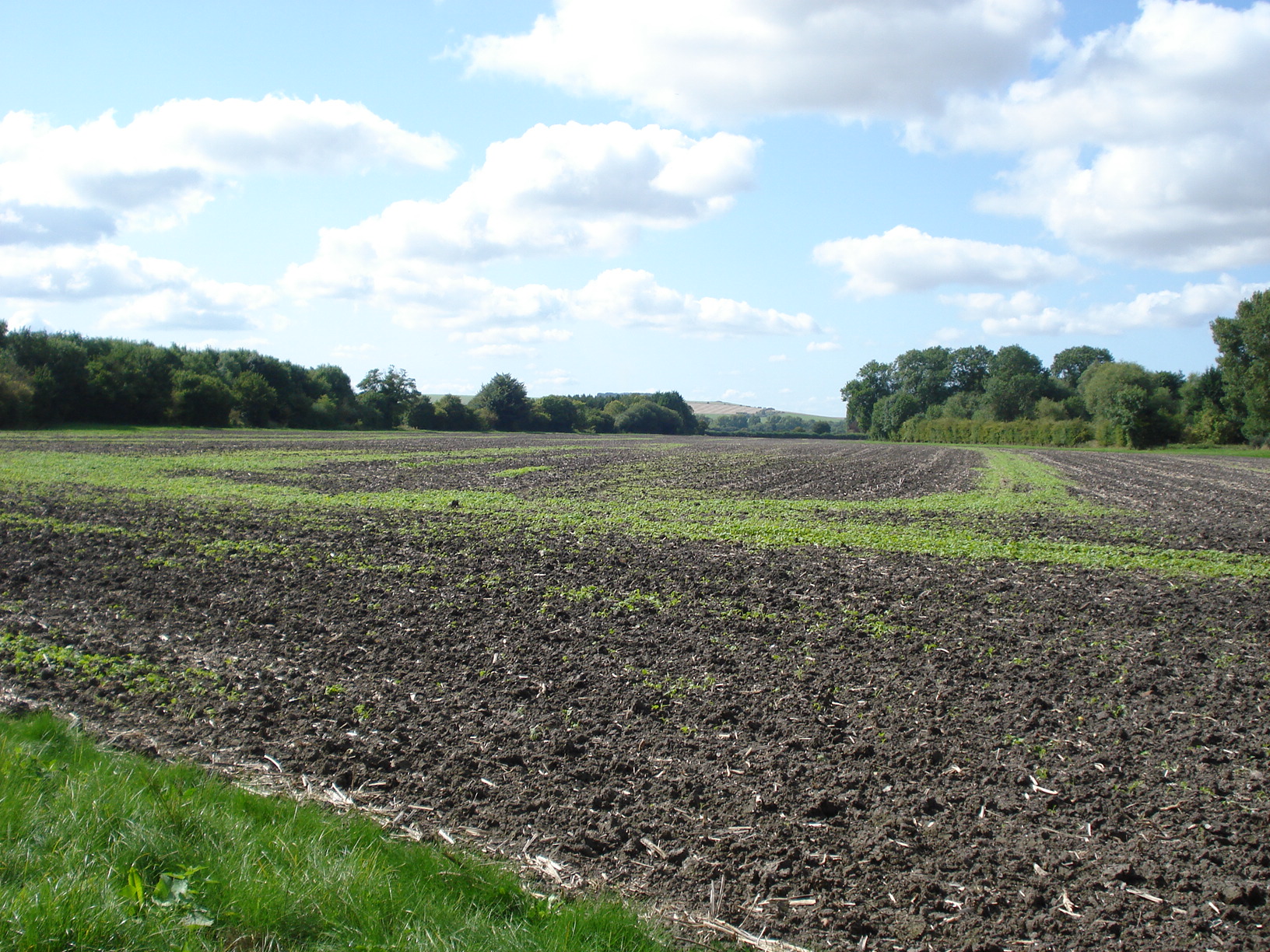
I have done a couple of walks from Didcot previously; okay, the pretty much the same walk done twice but that one took in a circular route in a northerly direction. This time we headed south leaving Didcot and those cooling towers behind us. Within a mile or so we had reached the footpath that took us to the edge of East Hagbourne. Continuing on soft grassland we went past one or two brooks. On my reccy, I lost my bearings a little at this point which is quite easy to do around this area as some of the footpaths were not well way marked at all. Thankfully this time it was “alright on the night” and we continued as planned.
I was being more attentive to my surroundings than normal as I knew we had to take a left turning that was well disguised amongst the overgrown foliage. We found it without a hitch as it happens and soon approached the sleepy village of South Moreton. A pub existed put we didn’t go in and not for the first time on the walk we would ignore a hostelry.
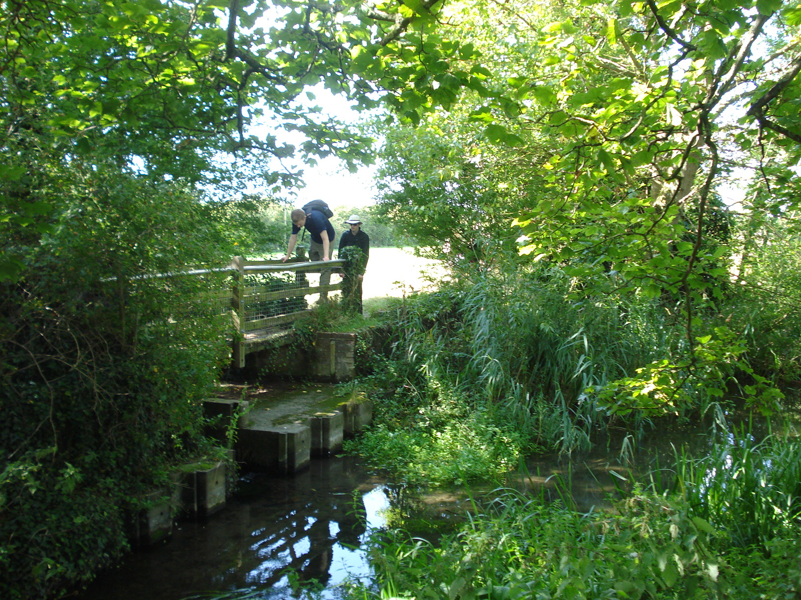
Not long after we left South Moreton, having successfully walked through a field of a number of especially well behaved cows who were minding their own business – why can’t they all be like this? – We settled down to eat our picnic lunches. As we ate into our sarnies and the group discussion took a leftfield turn – the moon, stealing moon rock and the Moon Walk(!) – it was noted that a heat haze could be seen. For early September we were greeted with superb weather all day with wall to wall sunshine from beginning to end. I love walking in our beautiful idyllic countryside on days such as these.
Soon we were off again, taking in the only real hill on the walk which was barely little more than a 20 metre ascent. Cholsey was our next village to visit. It is here that we saw the gravestone of the world renowned crime novelist, Agatha Christie. Incidentally, this is the clue for today’s blog heading. We stopped briefly to have a look before continuing through the village with myself quickly correcting a couple of wrong turnings here and there. Unfortunately some of the walk was on hard concrete which didn’t help one of the members in the group who was suffering with blisters. He sensibly decided to bail out and caught the train at Cholsey rather than continue to suffer. Not long after we said cheerio the rest of the group spotted a shop and a few of us, including myself, took advantage by having an ice-cream.
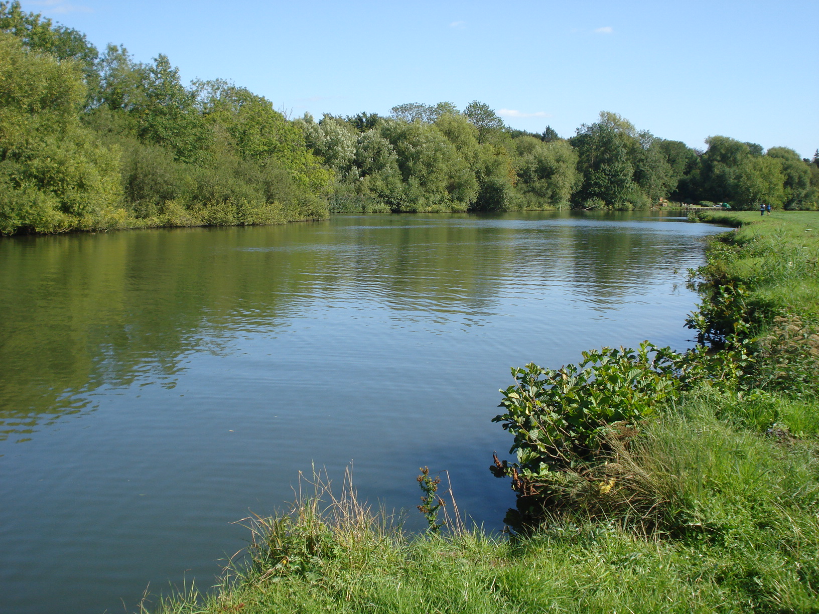
Soon the hard concrete was over, at least temporarily, and we made to the Thames Path and made steady progress to Moulsford. I made the point here that this is my least favourite part of the Thames Path as it diverts away from the river and alongside a busy road for maybe half a mile. Still, it couldn’t be avoided and knowing that the pub stop was just minutes away kept the motivation going.
Having refuelled with liquid refreshment at this rather pleasant spot next to the river we completed the remainder of the walk, perhaps maybe two to three miles alongside
the Thames. Soon enough the conclusion came and waited for the return journey via train to Reading for most of us.
- Details
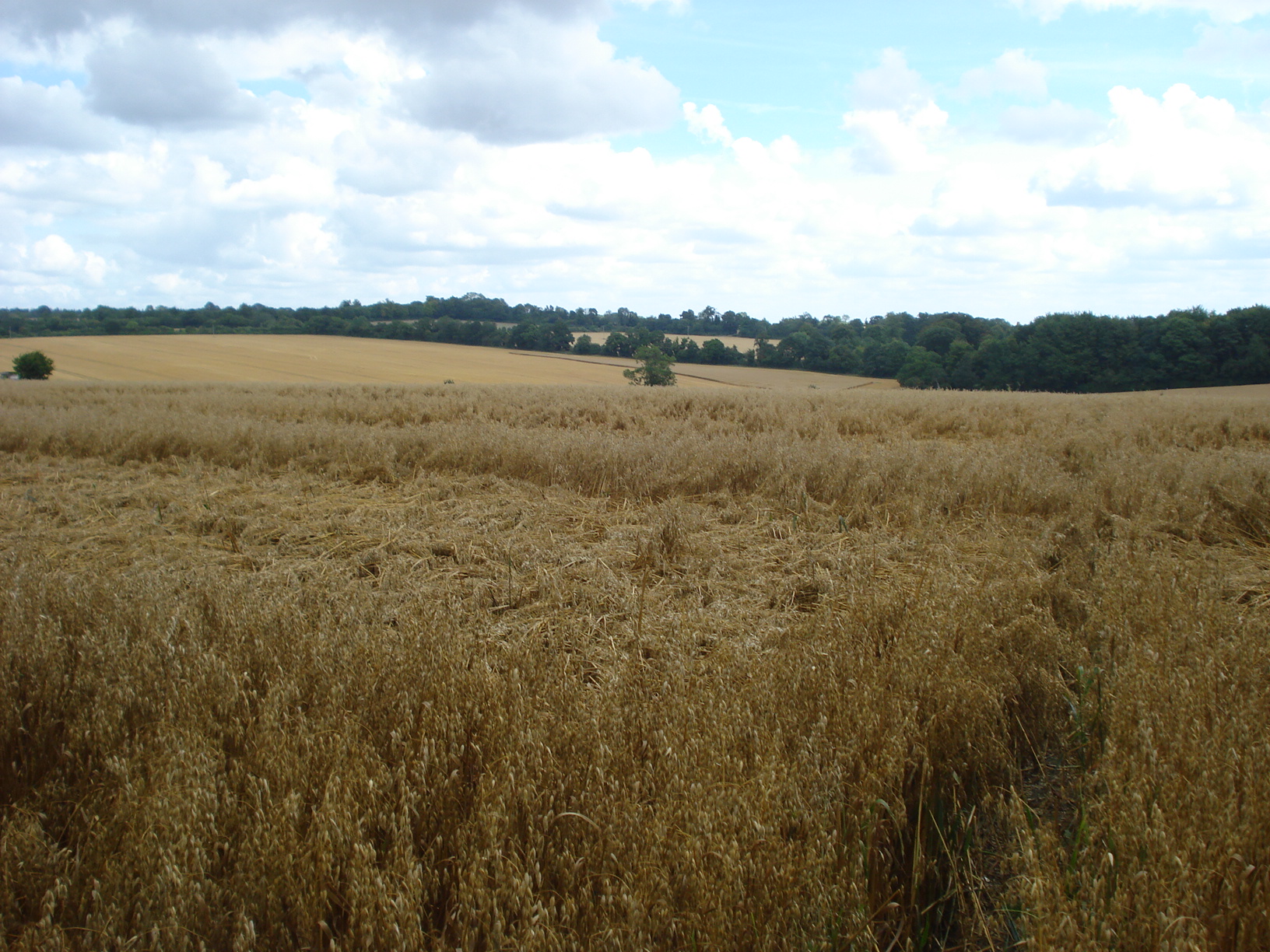
In Spring 2014 I decided to reccy a walk in area fairly unknown to me. Unfortunately, at the time I was not aware that it was an area prone to flooding. At the time it was a number of weeks, a few months perhaps since the worst of the rains had subsided in the winter of 2013/14. However, when I chose to do my walk starting from the fairly remote Overton railway station I was caught completely unawares of the waterlogged fields that lay before me. I did manage to complete the walk then albeit with my feet soaked to the bone .I had subsequently delayed in submitting the walk to our programme.
Roll on maybe sixteen months I decided it was time I re-visited the ten mile walk and lead it for the group. The starting location of Overton is just one stop from Basingstoke so for those travelling from Reading (and other destinations) it did require us changing trains but that was no problem. The service was better on a Saturday so chose this day to lead it.
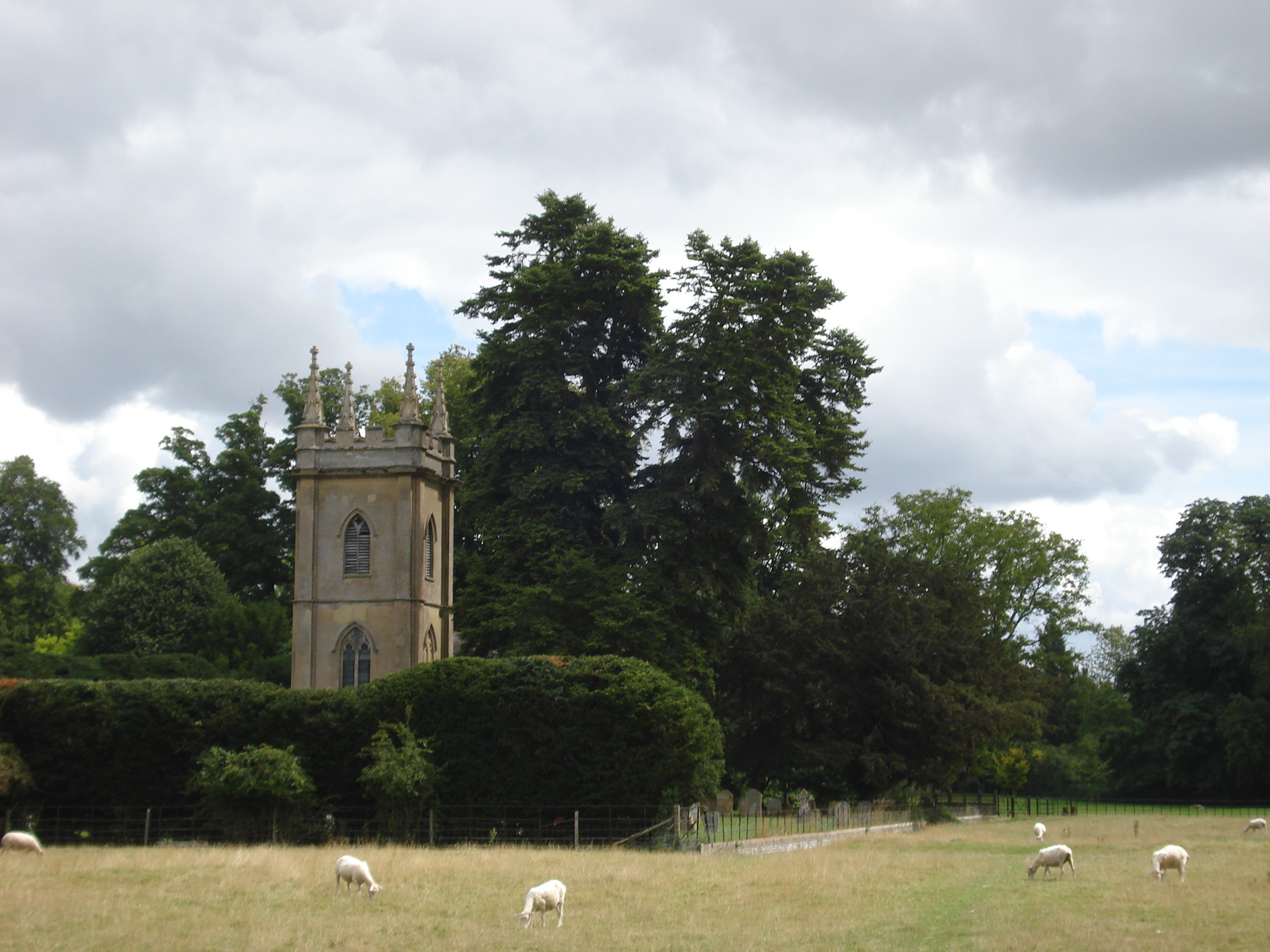
Twelve of us had gathered at the start point, together with another walking group but we successfully managed to not get confused with one and other which was a good start. One person in our group was slightly caught out by how far the train station was from the village centre – a good mile perhaps – so parked a little way away but fortunately was picked up by a sharp eyed lady from our group was also driving to the start point.
All together, we were off heading in an easterly direction towards but never reaching Basingstoke. Thankfully the land was very dry so absolutely no chance of us getting soggy feat this time as we took to the fields almost immediately from the off passing the village of Ashe where the source of the River Test is located nearby. We strolled past what would be the first of three churches that we stumbled across during the hike. I was quizzed once or twice but others in the group had far better knowledge then me, I’m just happen to be leading a walk in an area that I have only ever visited once before!
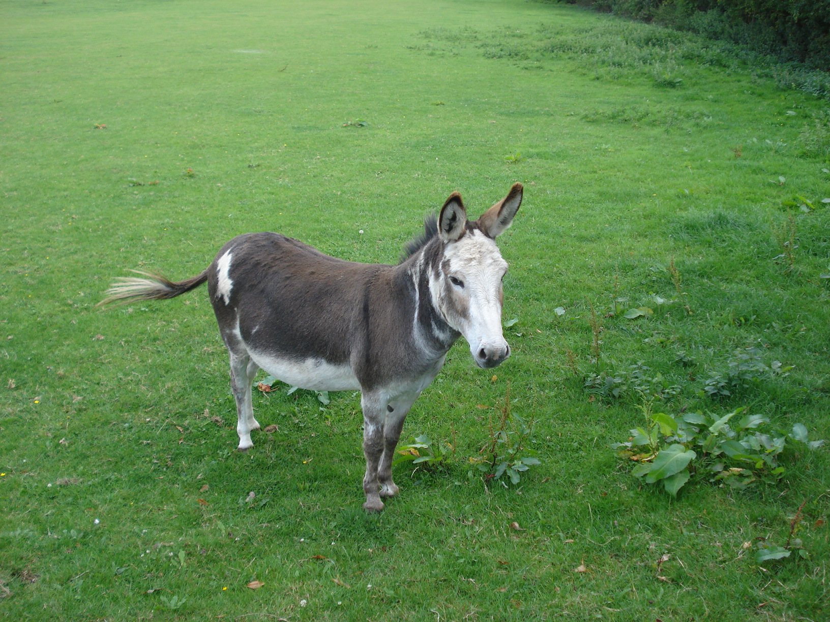
Soon we arrived at church number two at the village of Deane, passing through a field of sheep which had been waterlogged last time I visited. We eventually turned in a north easterly direction through Deane Cottages, saying hello to a couple of donkeys on the way and eventually arriving at Little Deane Wood. Greeted with rolling fields, we had a few water stops to ensure we could take in the inspiring views.
The walk took us in a southerly direction down Ivy Down Lane and crossed the Andover Road. There was a pub nearby but it was too early for consideration even for me. It was not long that we arrived at church number three of the day at Oakley where we saw a solitary person dressed in a full tuxedo. He certainly looked rather dapper although not sure if there was an event (wedding?) going on as there was no further evidence to suggest there was.
Within 10 minutes with our tummy’s rumbling we stopped at a couple of benches to have our picnic lunches looking back over Oakley. It was questioned by one person that as we had walked past Station Road where the station was itself as it was not obvious? Well, I can confirm there was one in existence at some point on the Basingstoke to Salisbury line but closed in 1963 presumably after the Beeching Report.
Lunch done we set off and carried on through the open fields, passing the Wayfarers Walk intersection and through Ashe Park Copse. We headed through the village of Steventon where I pointed out that this is where I had my lunch on my reccy. We were making good progress at this point despite the fact I had to pause on one or two occasions to remember the route. It is not usually sixteen months between me reccying a walk and actually leading it. However, we had no issues.
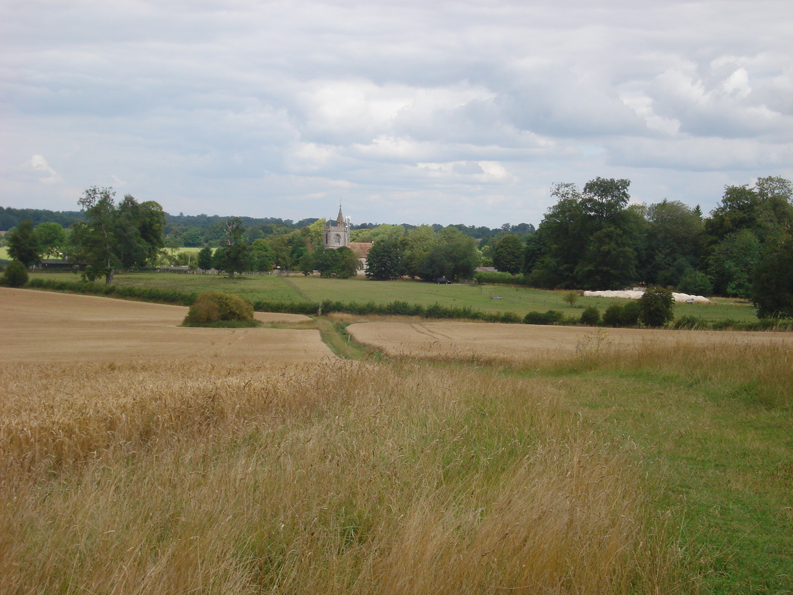
The enjoyable walk was slowing coming to its conclusion but not before we walked near to Laverstoke Park Farm. Ian in our group had pointed out that the farm was run by an ex famous Formula 1 World Champion from the 1970’s. It took a few minutes to establish who it was. We saw a herd of magnificent looking buffalo on the farm although I think it was of some relief to the group that the footpath did not actually takes us through this field.
Before long Overton was reached and we had to make a decision as at a push we could make the earlier than planned train. A few people decided to take up the option but most of us decided to relax and have a drink (and ice cream in some cases) in the hostelry run by a friendly landlord. That convinced me, if I needed any convincing that is, to have second pint. Time was in our favour and we managed the final 0.8 miles with time to spare. All in all a very enjoyable day spent with good company as always.
- Details
Following a number of weeks of what seemed like endless sunshine today’s walk from Slough was completed under near cloudy skies virtually the whole hike bar a brief sunny spell and light shower towards end of walk. For me, it made for rather pleasant walking conditions.
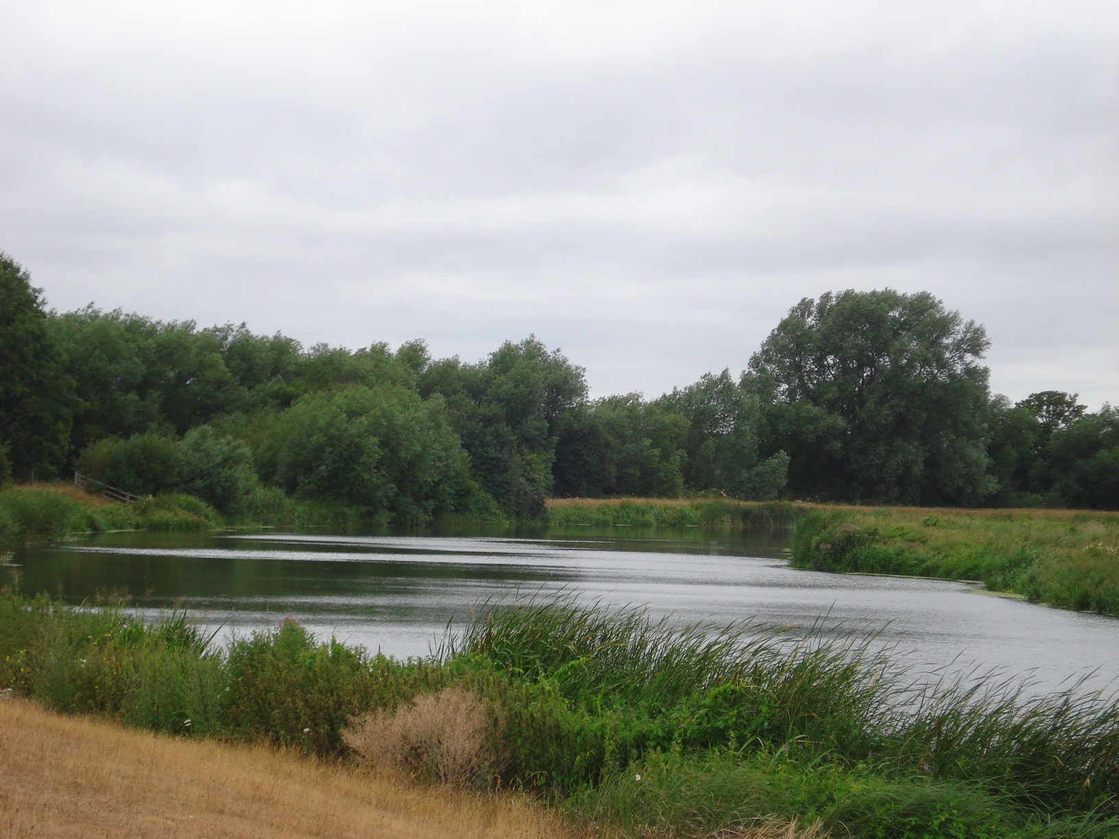
We met in a somewhat unusual starting at a supermarket car park on the edge of Slough which was a new meet point for both myself and probably everyone else today. Unsure of precise location, I ended up arriving over 30 minutes early which meant that there was time to popp into the supermarket for a cup of tea. Realising time was marching on; I finished the tea outside where the others, including our walk leader Paul were gathering in the car park. It’d been a while seen we had seen Paul so it was nice to catch up, he’d been busy checking out rollercoaster’s in America and walking up Scottish mountains in the dark these past few weeks!
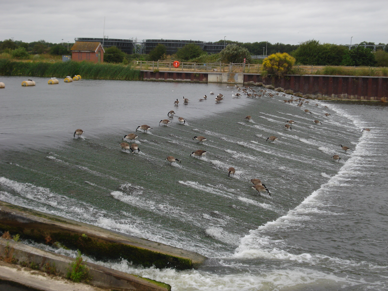
The group got together, Paul did his introductory speech and we were off heading first towards the Jubilee River. This man made hydraulic channel was constructed around the turn of the century with the aim to help take any over flow from the River Thames and help alleviate flooding areas around the area of Maidenhead and Windsor. We continued towards Dorney Reach, a site utilised during the London 2012 Olympics. Unfortunately, we were unable to continue along our planned route due to a triathlon taking place which we meant we could not get to Dorney Lake. This did not cause too much alarm as we took a slight diversion without any fuss.
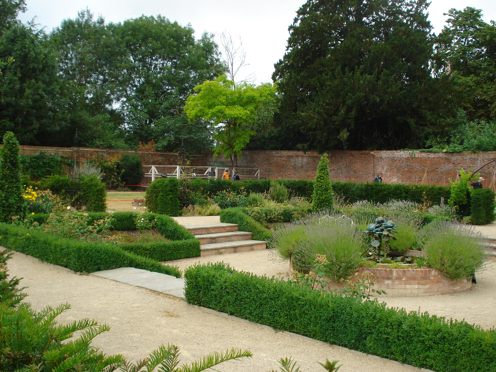
Before long we arrived at the Kitchen Garden at Dorney Court where we stopped for warm liquid refreshments and for most of us a slice of cake. This is a rather lovely place that includes a garden that is home to many plants as well as fresh food and other produce. At the back there are some unusual looking chickens and a slightly odd quote from Bette Midler regarding compost heap written onto a slate!
Fully refreshed we marched on past the pub in Dorney and over the common before we stopped to have our picnic lunches near Boveney Lock with Windsor Racecourse not far away. We saw a number of pleasure boats going past us and then turning round and heading straight back. I have to say, the passengers on board didn’t seem to be full of the joys of life. Mind you, they might have thought the same about us.
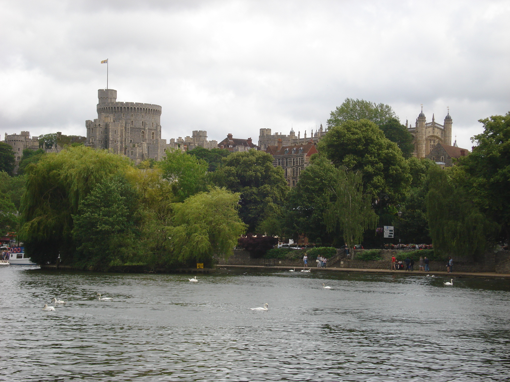
Lunch completed, we continued along the Thames Path, seeing the splendid Windsor Castle in full before we reached Eton where we had our third and final refreshment stop. This time the liquid intake for me was alcoholic. Yes, we had arrived at the pub. It was a pub that until this year I had only been once before but have subsequently now made three further visits this year with the group, including today. Moving on, I was quite surprised of all the slightly quirky and interesting shops along Eton High Street which one day I’ll have to pay a visit.
The walk was soon coming to its conclusion although not before we were greeted with a sharp shower. We are rushed to our back packs to get hold of our waterproof jackets. We avoided the worst of the rain for the journey home where there were some very heavy isolated showers to get through.
- Details
Over the years our group as done many lovely walks covering the Wargrave and Henley area but to my knowledge today’s walk was the first one to cover both towns within the same day. The walk started from Wargrave and ended in Henley where a few us stayed and had a bite to eat by the riverside.
In planning the walk I decided to take advantage of the bank holiday but making the route almost unnecessarily longer by initially heading in the opposite direction to where we needed to head. Well, most of us had a day to recover from our near 13 mile adventure so why not extend it a little.
Initially 14 of us gathered at the train station at the start, most making use of the public transport. The route took us the chalk pit in Wargrave. This previously was an area that was at threat of being built on several years ago but now remains an environmental area of natural space where wildlife flourishes. We continued on towards but not quite not quite reaching Twyford where our numbers increased by one to fifteen. Someone had some misfortune and was unable to make the train to the start due to their initial train being delayed so improvised by walking from Twyford and thankfully we met up easily enough.
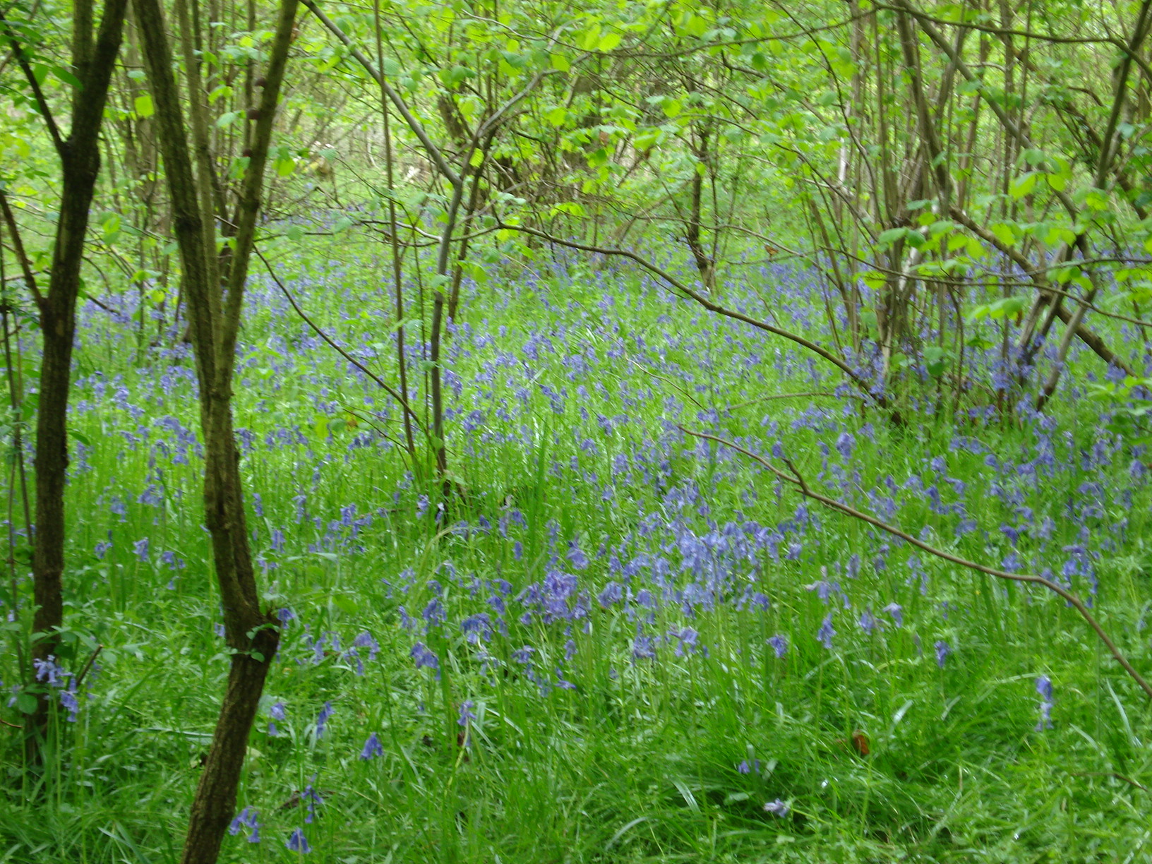
It wasn’t long before we reached our southern most point of the walk and we then turned to head towards Hare Hatch, crossing the A4 and then continued on to Crazies Hill through quite footpaths, many were accompanied by the fine sight of bluebells which were out in full bloom. We also stopped briefly at Rebecca’s well, built in 1870 to provide people of Crazies Hill of water and then a short lunch stop was had. Many of the footpaths were familiar to some of the regulars in the group, not least the walk leader himself.
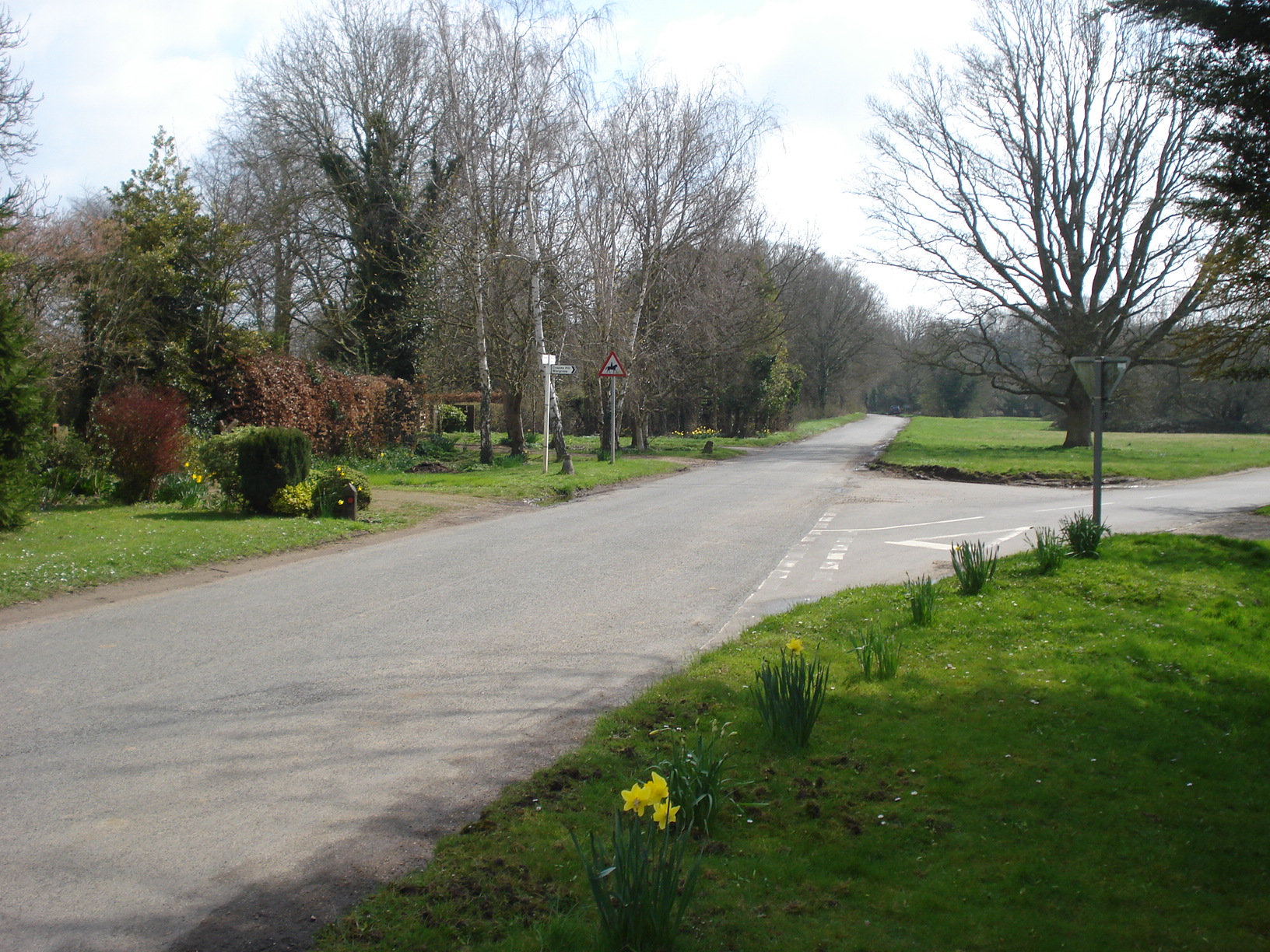
We soon reached the tiny Berkshire village of Cockpole Green with the sun basking down on us. Sun tan lotion was required. However, as our ramble heading towards the Thames Path we looked upwards where an ominous black cloud lurked. Would the weather Gods turn against us? In a way it did as the cloud dispersed its contents as we arrived at our pub stop in Aston. Personally this was slightly frustrating from my viewpoint as it had meant everyone had congregated into a crowded pub and our group fragmented to where we could find some space. The shower was very brief, so a couple of us ended up going outside anyway.
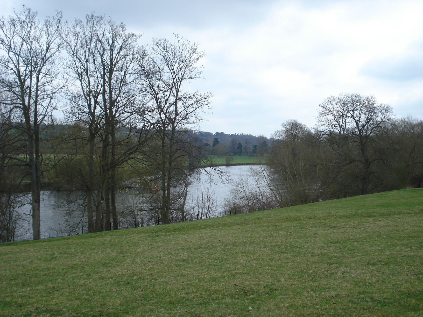
We continued onwards along the Thames Path though Hambleden lock – where was the usually reliable ice cream van? – before the walk eventually concluded in Henley. The group then split with some heading straight to the station to make the short journey back to Wargrave while the rest of us and a few drinks and ordered our dinner by the riverside although we didn’t out late into the evening as it started to get bit chilly. Good time was had by all.
- Details